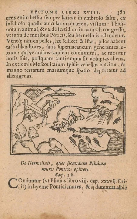
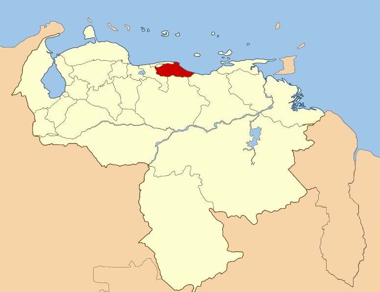
The image shows a political map of Iran, with its provinces highlighted in red.
Read full description
The image shows a political map of Iran, with its provinces highlighted in red. The map is filled with various shades of blue, representing the different regions of the country. The red color stands out against the blue background, making it easy to identify the provinces.