Public domain photos
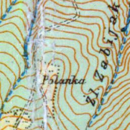
The image shows an old topographic map of Poland, with text and lines indicating the topography of the area. The map is detailed, showing the various elevations and contours of the land, as well as the various geographical features such as mountains, rivers, and valleys. The text on the map provides additional information about the area, such as its elevation, terrain, and other features.
 Open in library