Public domain photos
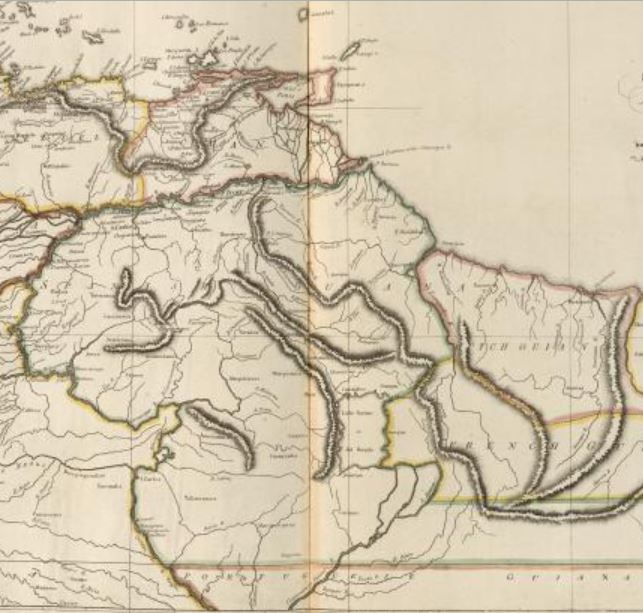
The image shows a map of the British Empire in the 19th century, depicting the extent of the Persian Empire. It is a detailed map, showing the various countries and regions of the empire, as well as the borders of the countries. The map is filled with intricate details, such as rivers, mountains, and cities, all of which are labeled with their respective names. The colors used are mostly shades of blue, green, and yellow, giving the map a vibrant and lively look.
 Open in library