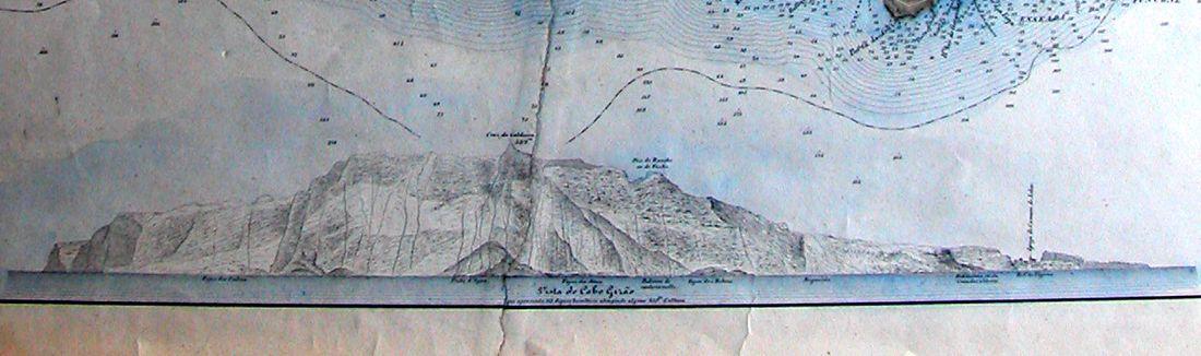
The image shows a drawing of a mountain with a lot of water on it, which is believed to be the topographic map of the Isle of Skye.
Read full description
The image shows a drawing of a mountain with a lot of water on it, which is believed to be the topographic map of the Isle of Skye. The map is detailed and shows the various elevations of the mountain, as well as the surrounding landscape. The colors used in the drawing are mostly shades of blue and green, with some yellow and white accents. The mountain is surrounded by a body of water, likely a lake or river, and the sky is a light blue with a few white clouds.