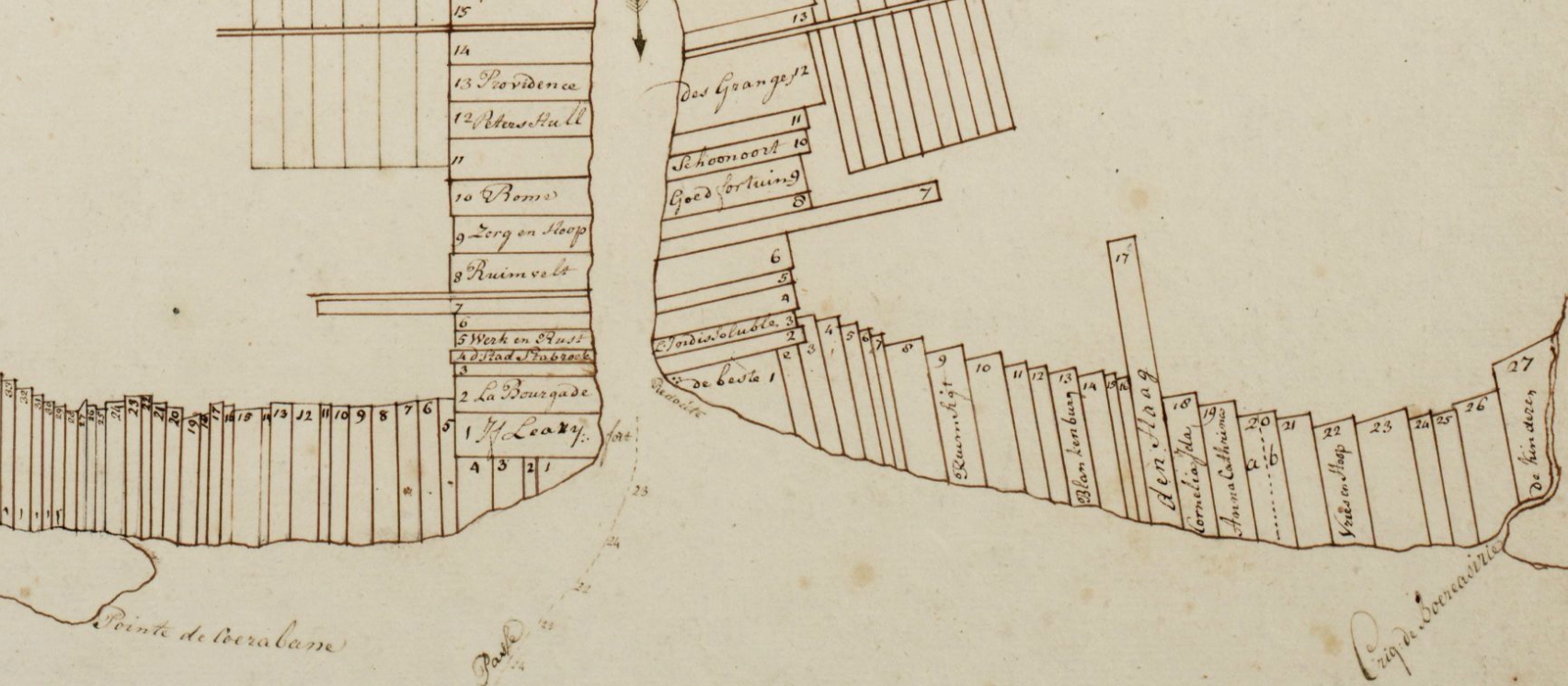
The image shows a drawing of a map of a city with a lot of buildings, which is the site plan of the 17th century.
Read full description
The image shows a drawing of a map of a city with a lot of buildings, which is the site plan of the 17th century. The map is detailed and shows the various buildings and streets of the city, as well as the surrounding area. The text on the paper provides further information about the site, such as the names of the buildings and the distances between them.