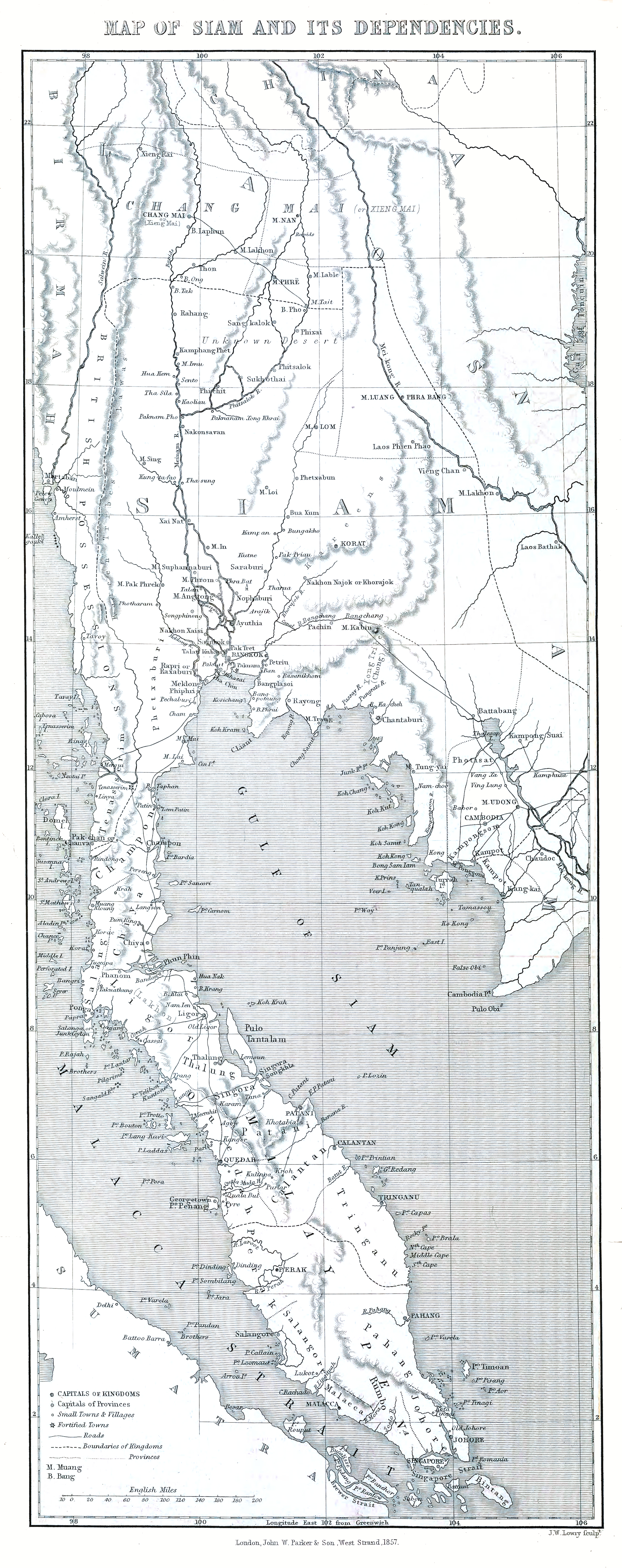
The image shows a map of the British Isles, with the provinces of Scotland and Scotland clearly visible.
Read full description
The image shows a map of the British Isles, with the provinces of Scotland and Scotland clearly visible. The map is printed on a paper, with text at the top and bottom of the image. It is a detailed map, showing the various geographical features of the region, such as rivers, mountains, and cities. The colors used are mostly shades of blue, green, and yellow, giving the map a vibrant and lively look.