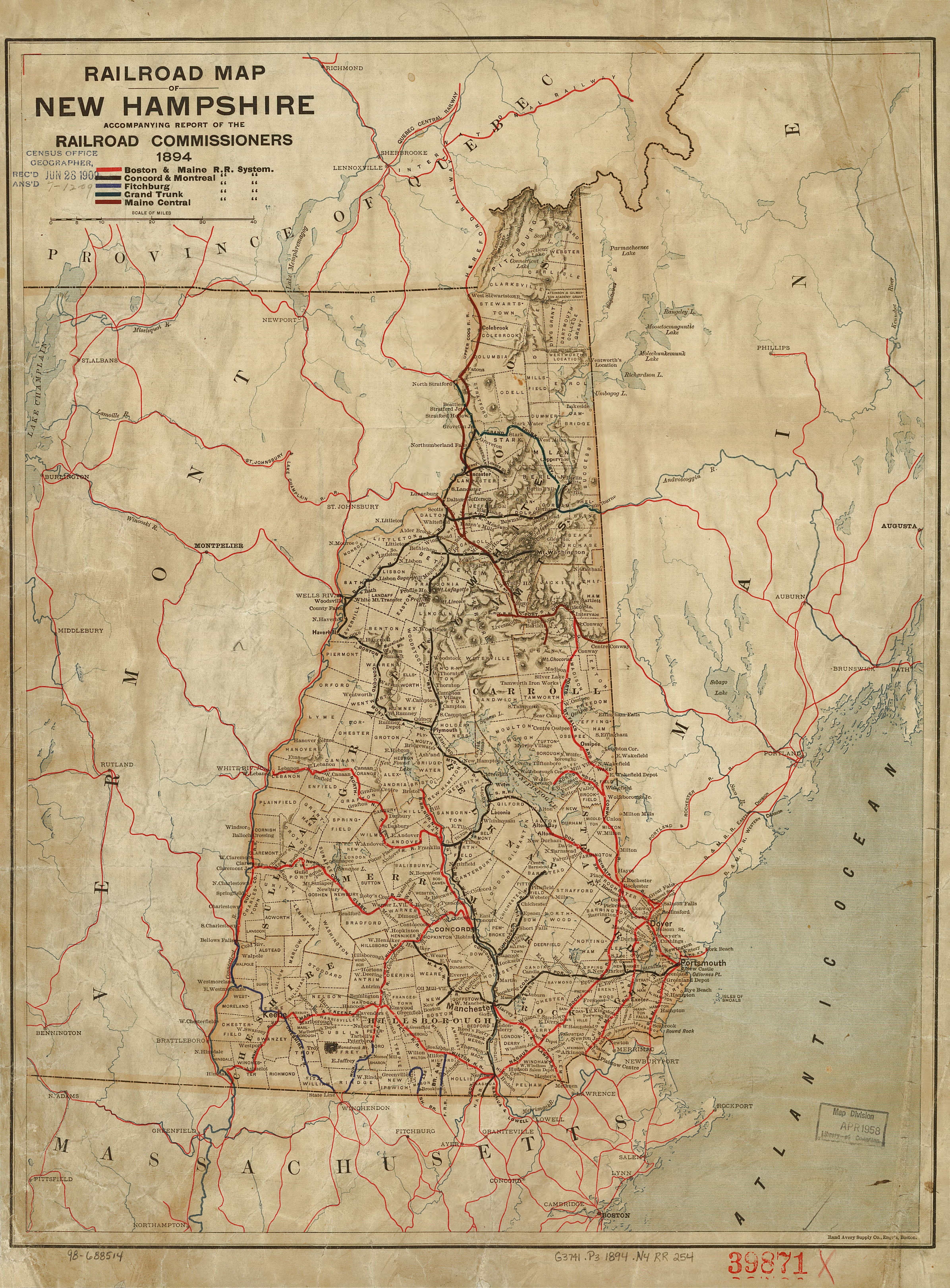
The image shows a railroad map of New Hampshire from 1864.
Read full description
The image shows a railroad map of New Hampshire from 1864. It is a detailed map with roads, cities, and other geographical features clearly visible. The map is printed on a paper with text at the top and bottom.