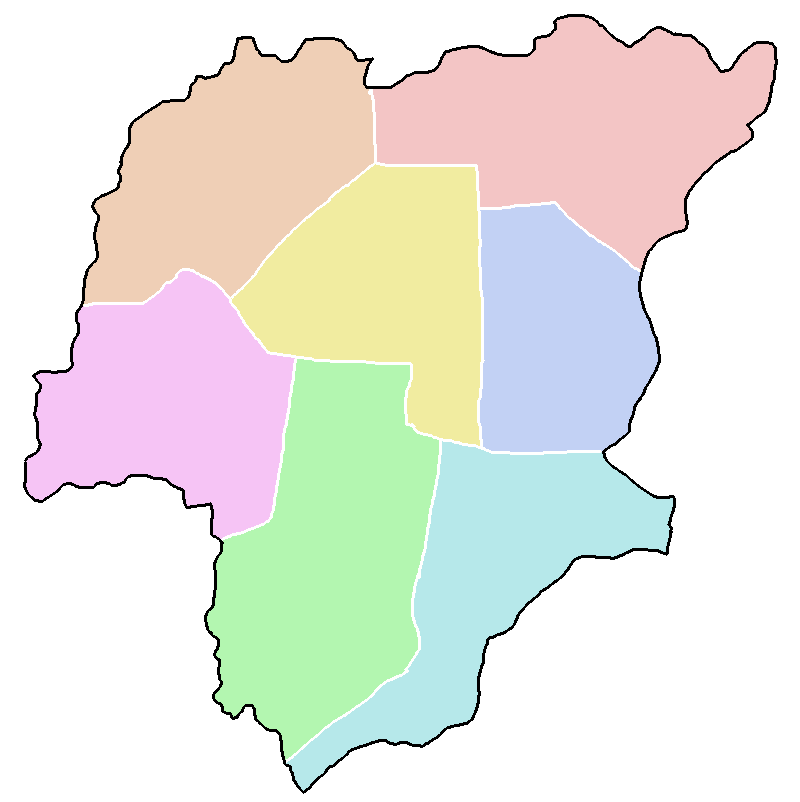
The image shows a map of Nigeria with its provinces outlined in different colors.
Read full description
The image shows a map of Nigeria with its provinces outlined in different colors. The map is filled with various shades of blue, green, yellow, and pink, representing the different regions of the country. The provinces are labeled with their names, and the map also includes the names of the major cities, towns, and other geographical features.