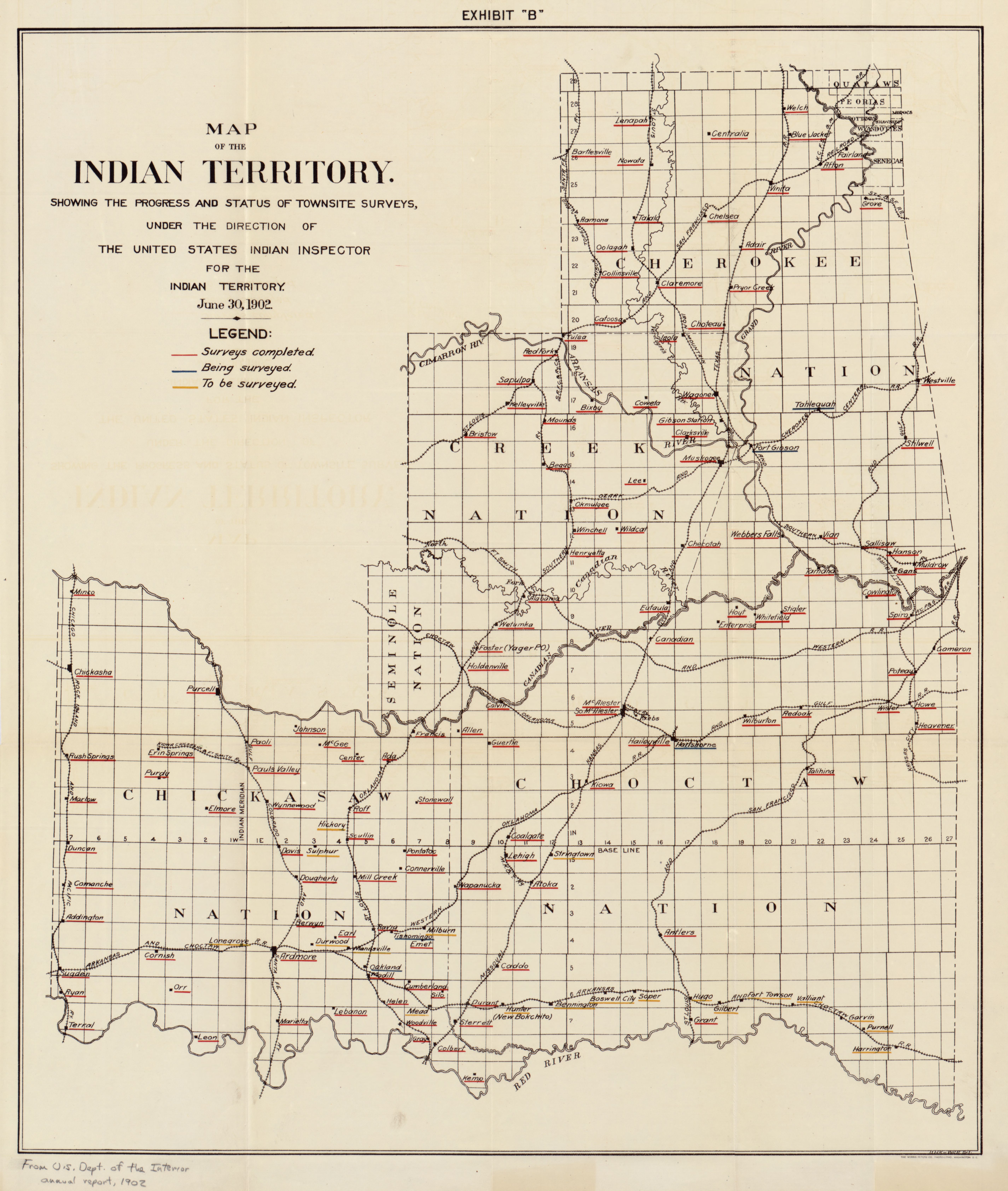
The image shows a map of the Indian Territory of the United States of America, with text detailing the progress and status of the survey.
Read full description
The image shows a map of the Indian Territory of the United States of America, with text detailing the progress and status of the survey. It is a detailed map, showing the various geographical features of the region, such as rivers, mountains, and cities, as well as the major cities and towns within. The map also includes labels for the various bodies of water, rivers, and other geographical features.