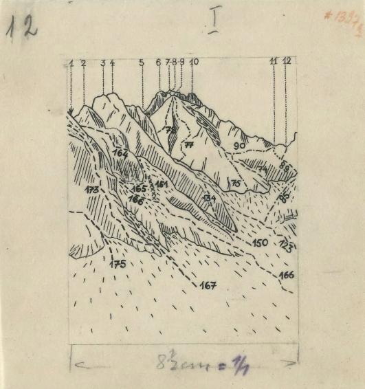
The image shows a drawing of a mountain range with a lot of numbers on it, which is believed to be a map of the Swiss Alps from 1872.
Read full description
The image shows a drawing of a mountain range with a lot of numbers on it, which is believed to be a map of the Swiss Alps from 1872. The map is detailed and shows the various peaks and valleys of the mountain range, as well as the various elevations and contours of the terrain. The numbers on the map indicate the elevation of the mountains, providing a visual representation of the area.