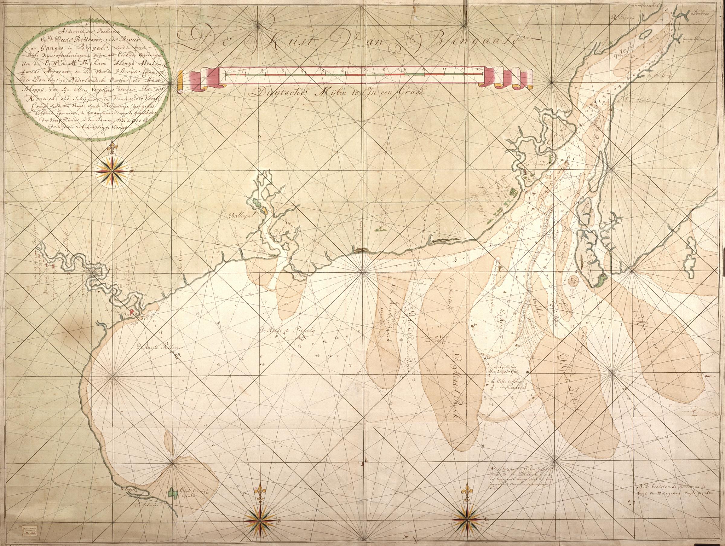
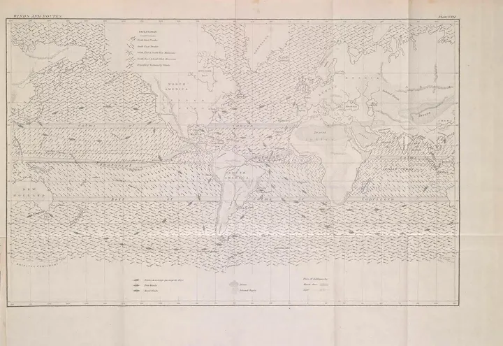
The image shows a map of the British Isles with a compass in the middle of it.
Read full description
The image shows a map of the British Isles with a compass in the middle of it. The map is from the 17th century and is a detailed representation of the area. The text on the paper provides further information about the map, such as the names of cities, rivers, and other geographical features.