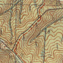
The image shows a topographic map of the area with a red line in the middle of it, which is believed to be a topographical map from the early 20th century.
Read full description
The image shows a topographic map of the area with a red line in the middle of it, which is believed to be a topographical map from the early 20th century. The map is detailed and shows the contours of the terrain, including mountains, valleys, and ridges. The red line indicates the elevation of the land, while the black lines represent the contour lines.