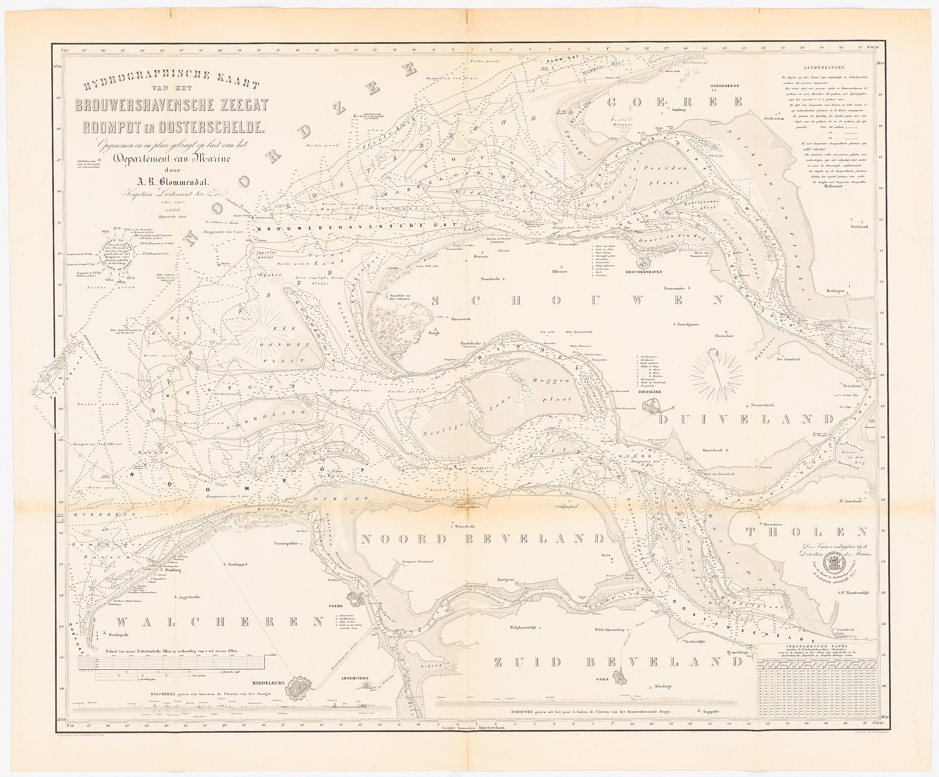
The image shows an old map of the city of London, England, with a white background.
Read full description
The image shows an old map of the city of London, England, with a white background. The map is a hydrographische kant, which is a type of map used to measure the geographical features of the area. It is a detailed map, showing the various roads, buildings, and other landmarks of London.