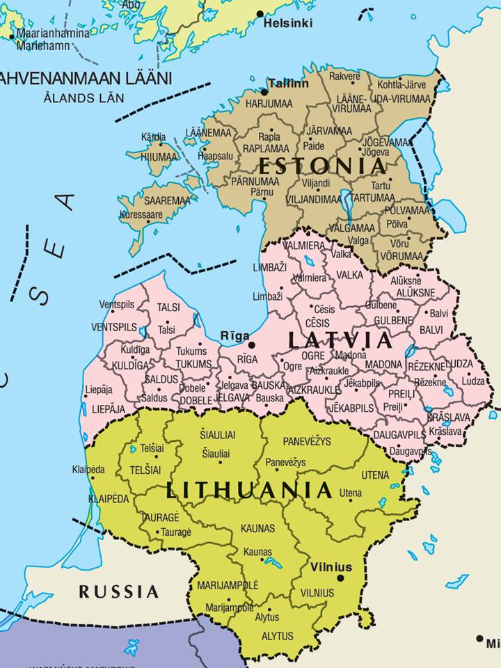
The image shows a political map of Lithuania, with its provinces and their capitals clearly visible.
Read full description
The image shows a political map of Lithuania, with its provinces and their capitals clearly visible. The map is detailed, showing the various cities, rivers, and other geographical features of the country. The colors used to differentiate the different regions are vibrant and the labels are clearly labeled.