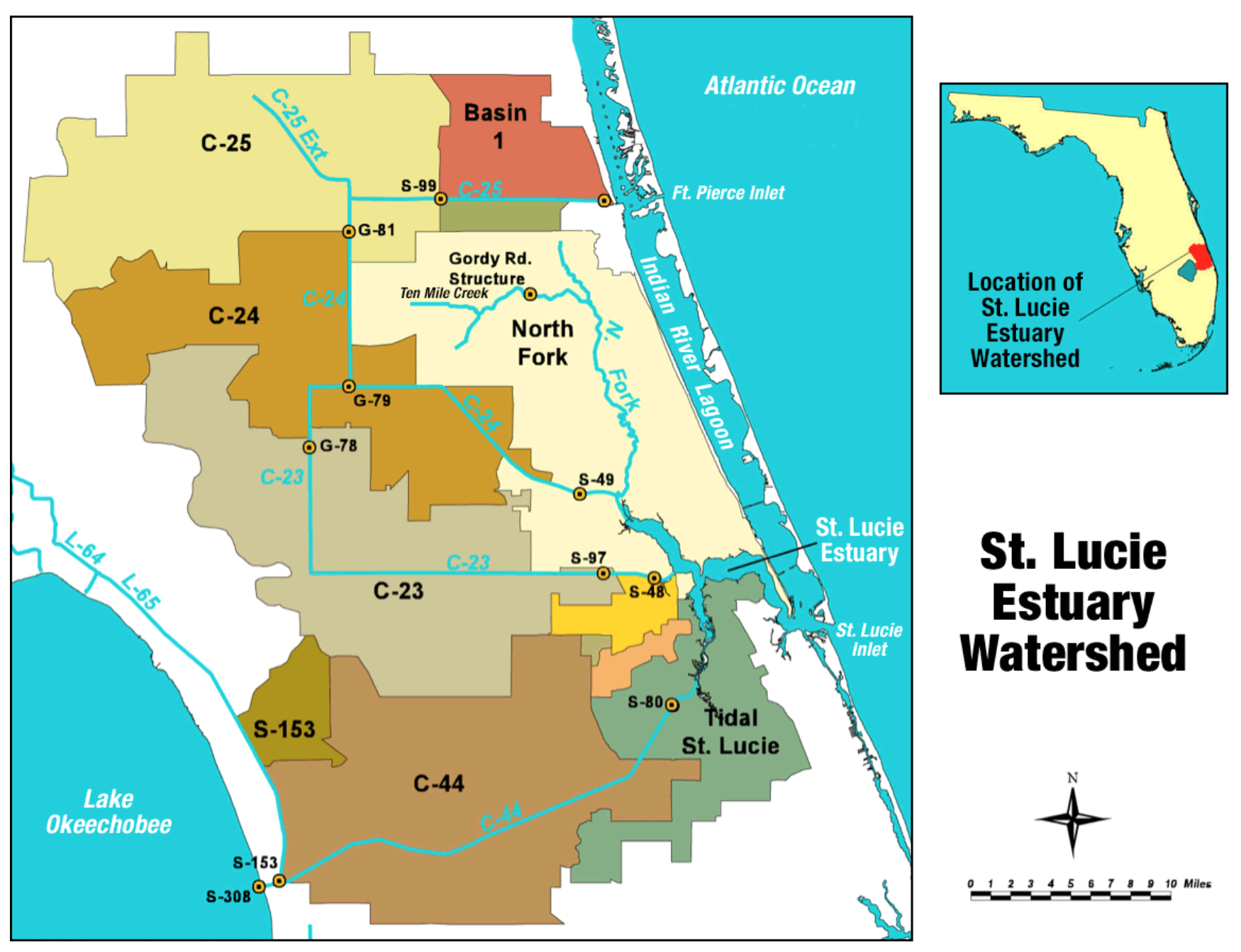
The image shows a map of St.
Read full description
The image shows a map of St. Lucie Estuary Watershed, with different colors representing the different areas of the watershed. On the right side of the image, there is text and a compass, providing additional information about the watersheds.