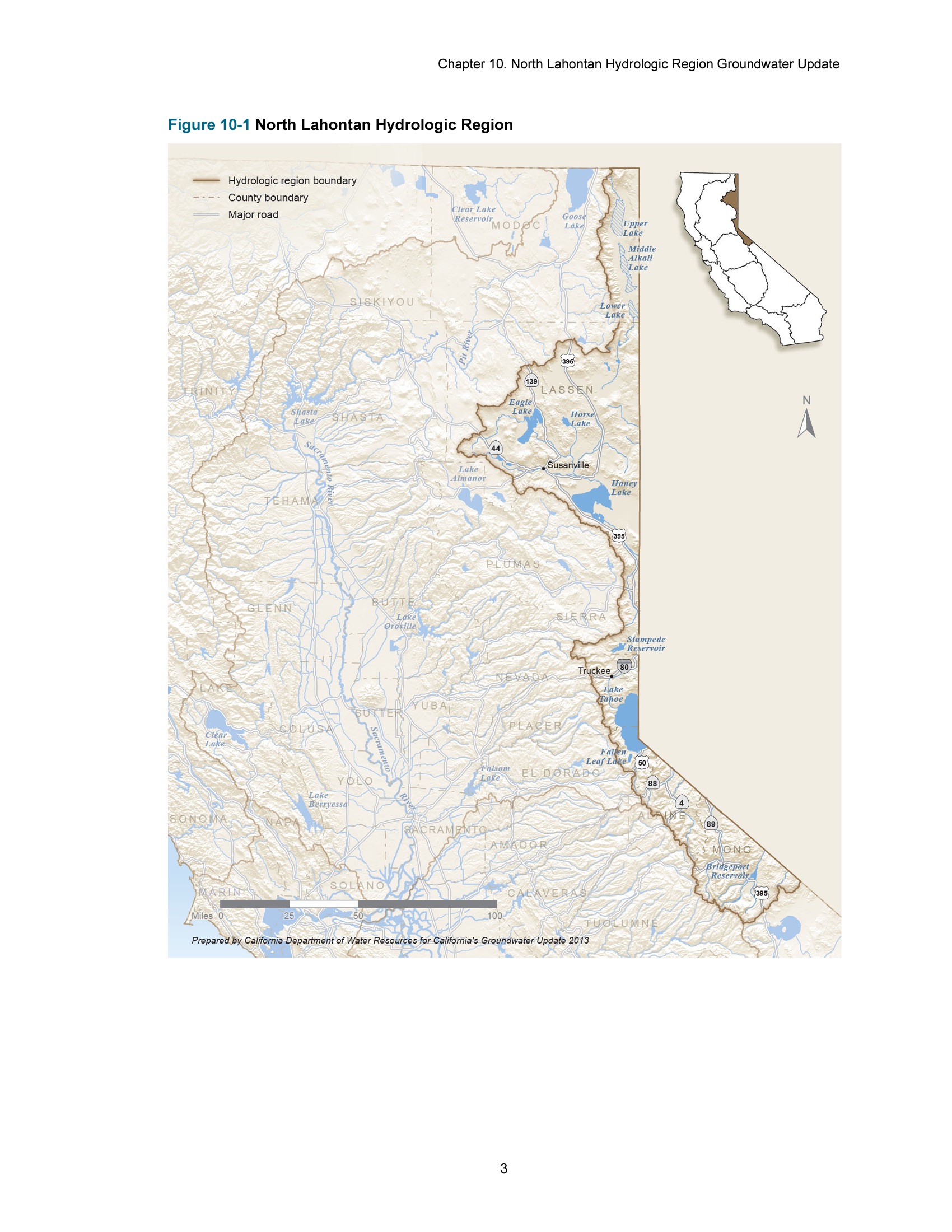
The image shows a map of the North Lahontan Hydrologic Region, with text at the top and bottom of the image.
Read full description
The image shows a map of the North Lahontan Hydrologic Region, with text at the top and bottom of the image. The map is detailed, showing the various geographical features of the region, such as rivers, mountains, and cities. The colors used to differentiate the different regions are shades of green, blue, and yellow, indicating the different levels of hydrologic activity in each region.