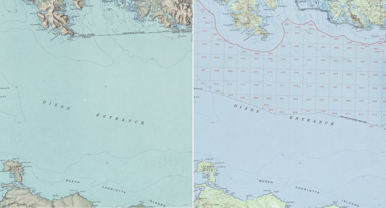
The image shows a collage of two maps, one of which is a topographic map of the British Isles and the other of a map of Scotland.
Read full description
The image shows a collage of two maps, one of which is a topographic map of the British Isles and the other of a map of Scotland. The top map is a detailed representation of the area, showing the various geographical features such as mountains, rivers, and cities, while the bottom map is filled with additional information about the area. The colors used in the map are mostly shades of blue, green, and yellow, giving it a vibrant and eye-catching look.