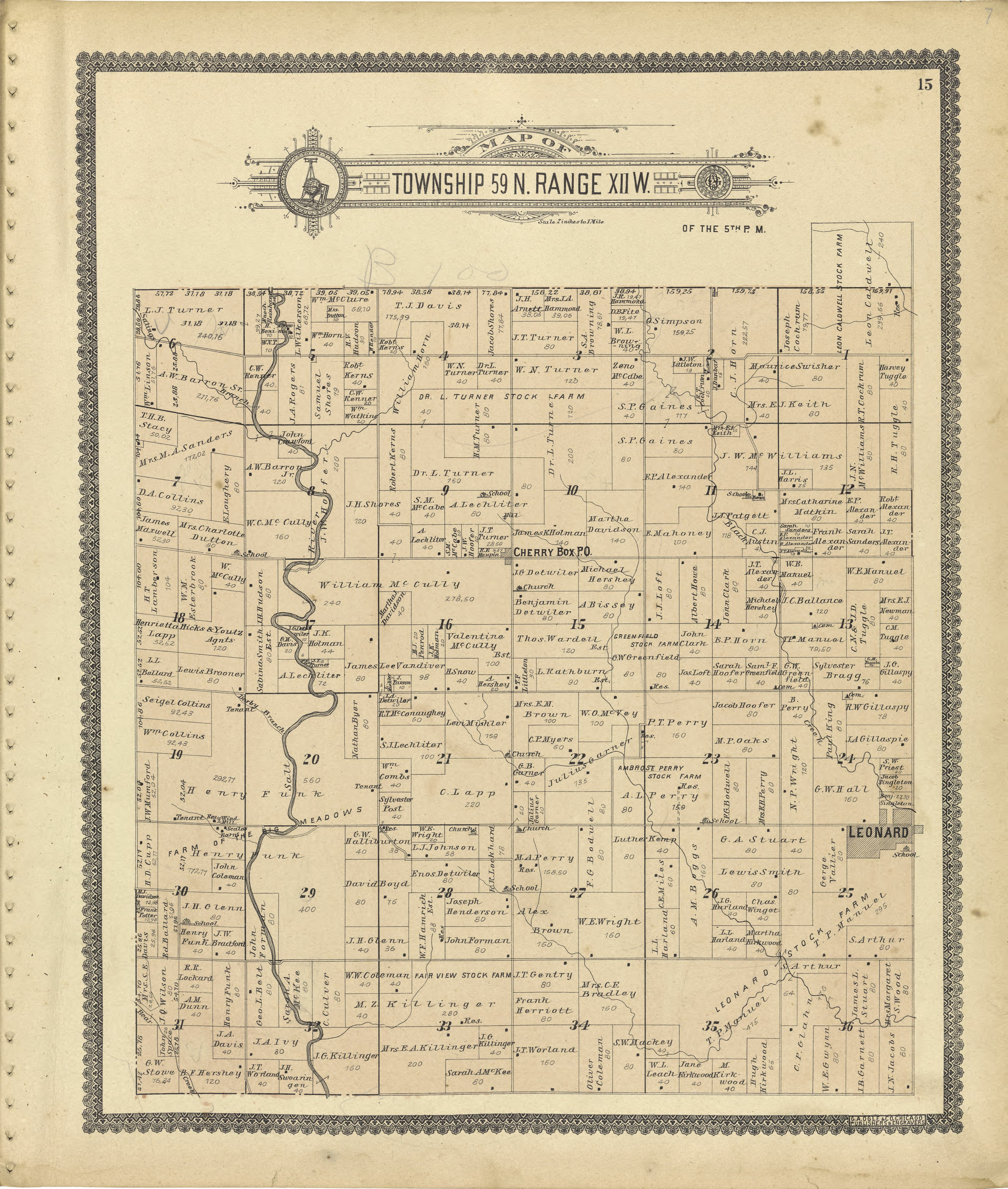
The image shows an old map of the town of St.
Read full description
The image shows an old map of the town of St. Louis, Missouri, with text and numbers on a white background. It is a county map from 1876, showing the county's boundaries and major cities.