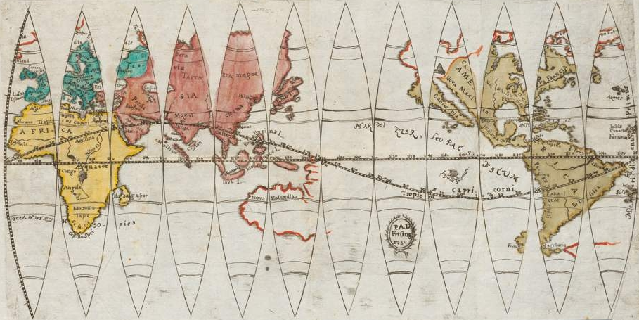
The image shows a map of the world with different colors and lines, depicting the extent of the British Empire.
Read full description
The image shows a map of the world with different colors and lines, depicting the extent of the British Empire. The map is printed on a paper, with the continents and oceans clearly visible. The colors used are mostly shades of blue, green, and yellow, with some hints of red and orange. The lines on the map are labeled with various geographical features, such as mountains, rivers, and cities.