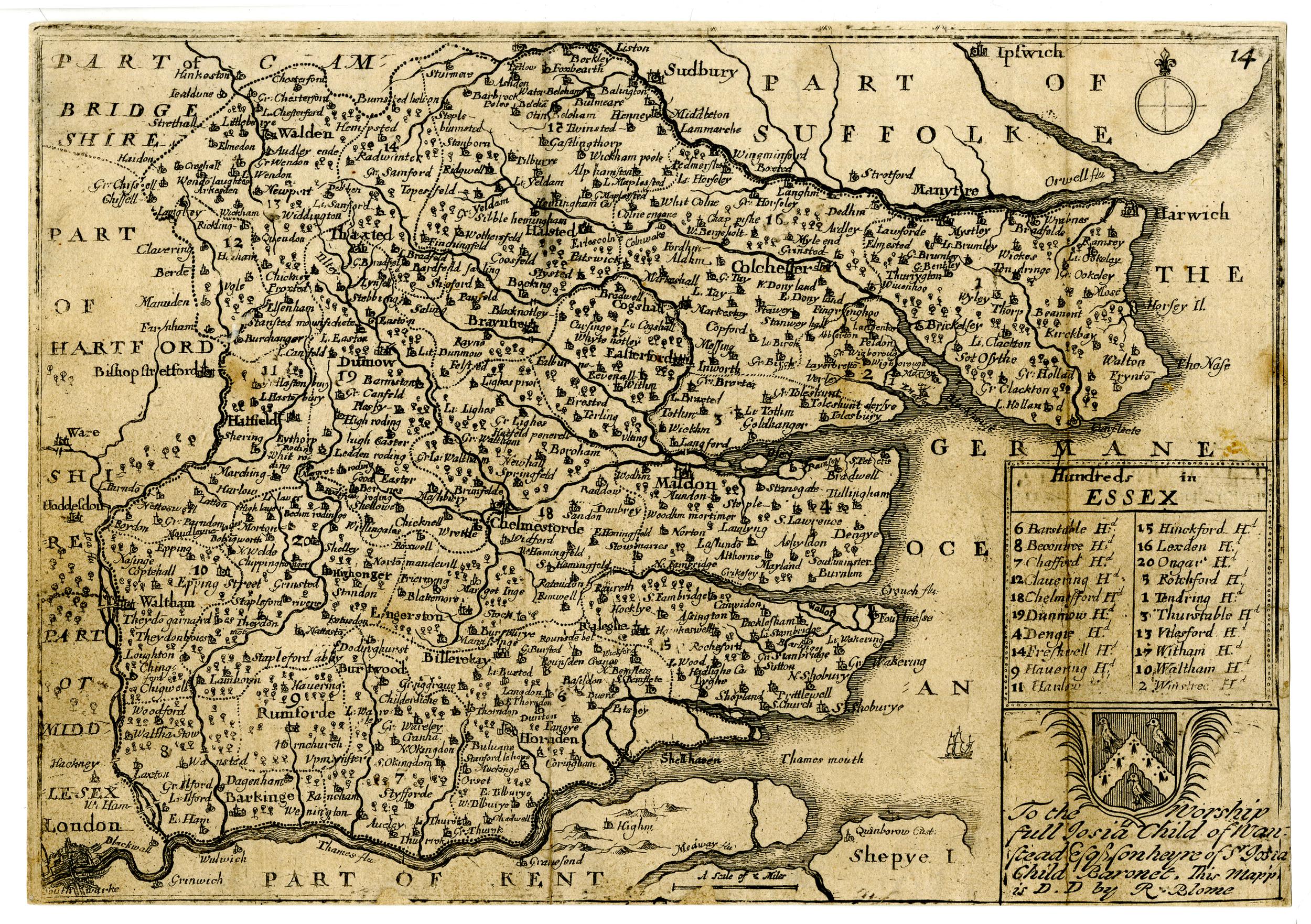
The image shows an old map of England and Wales, with text and a logo.
Read full description
The image shows an old map of England and Wales, with text and a logo. It is a detailed map, showing the various counties and cities of England, Wales, and other parts of the country. The text on the map provides additional information about the map, such as the names of the towns, cities, and bodies of water. The logo is a shield with a crown on top, and the colors used are mostly shades of blue and green.