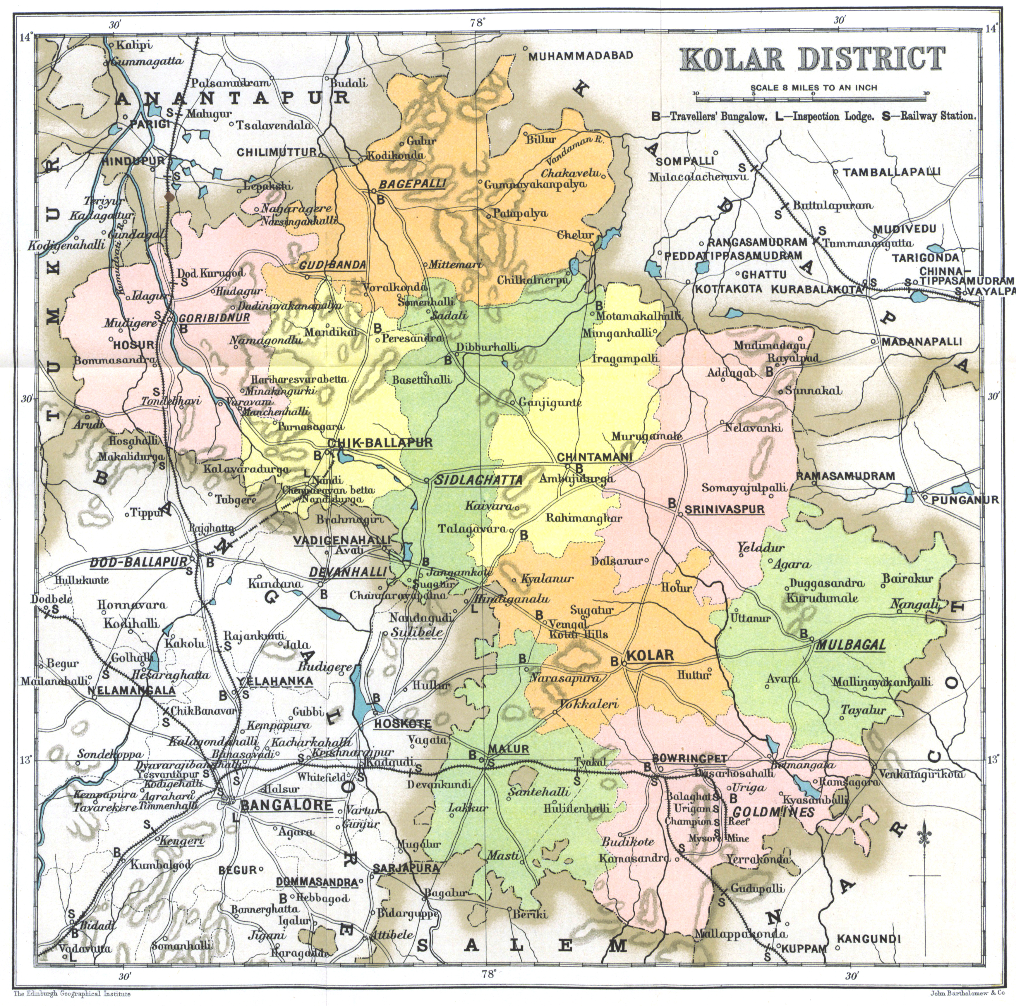
The image shows a map of the Kolar District of India, with different colors representing the different districts.
Read full description
The image shows a map of the Kolar District of India, with different colors representing the different districts. The text on the map provides further details about the districts, such as their boundaries, cities, and other geographical features.