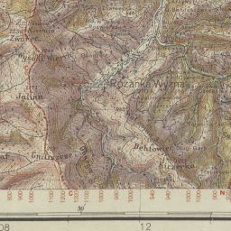
The image shows an old topographic map of the area with a ruler placed on top of it.
Read full description
The image shows an old topographic map of the area with a ruler placed on top of it. The map is detailed and shows the various features of the terrain, such as mountains, rivers, and valleys. The ruler is used to measure the height of the map, allowing for precise measurements.