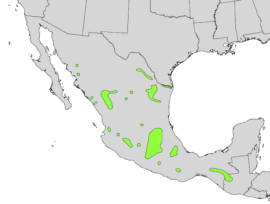
The image shows a map of the United States with green areas indicating the locations of all the major cities in Mexico.
Read full description
The image shows a map of the United States with green areas indicating the locations of all the major cities in Mexico. The map is filled with various shades of green, indicating the varying levels of vegetation in the region. The green areas are labeled with the names of the cities, providing a visual representation of the different types of vegetation.