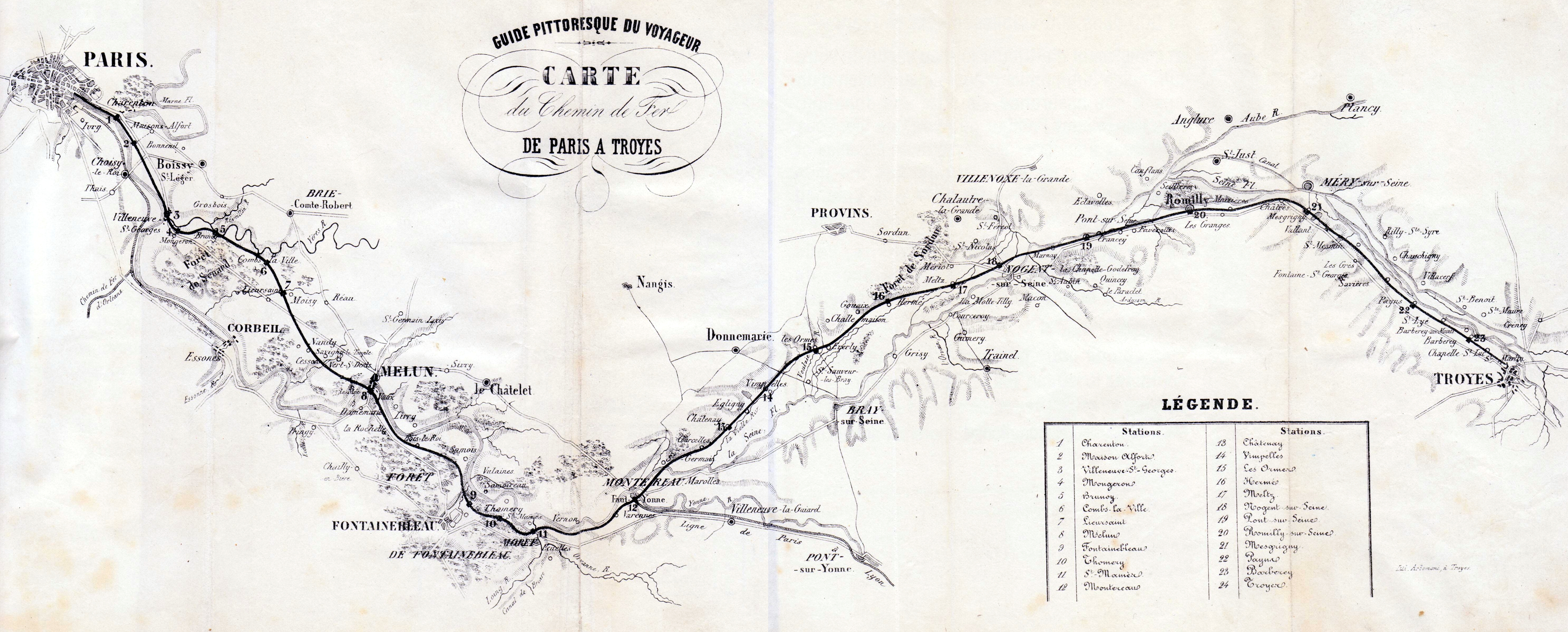
The image shows an old map of the city of Paris, France, depicting the route of the French Riviera.
Read full description
The image shows an old map of the city of Paris, France, depicting the route of the French Riviera. It is a detailed map, showing the various cities and towns along the route, as well as the various bodies of water that make up the Riviera, such as rivers, lakes, and mountains. The map also includes labels for each city, providing a comprehensive overview of the area.