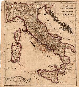
The image shows an old map of Italy from the 17th century, with text written on it.
Read full description
The image shows an old map of Italy from the 17th century, with text written on it. The map is detailed and shows the various regions of the country, including the provinces, cities, and bodies of water. The text on the map is likely a description of the region, providing further information about the region.