Public domain photos
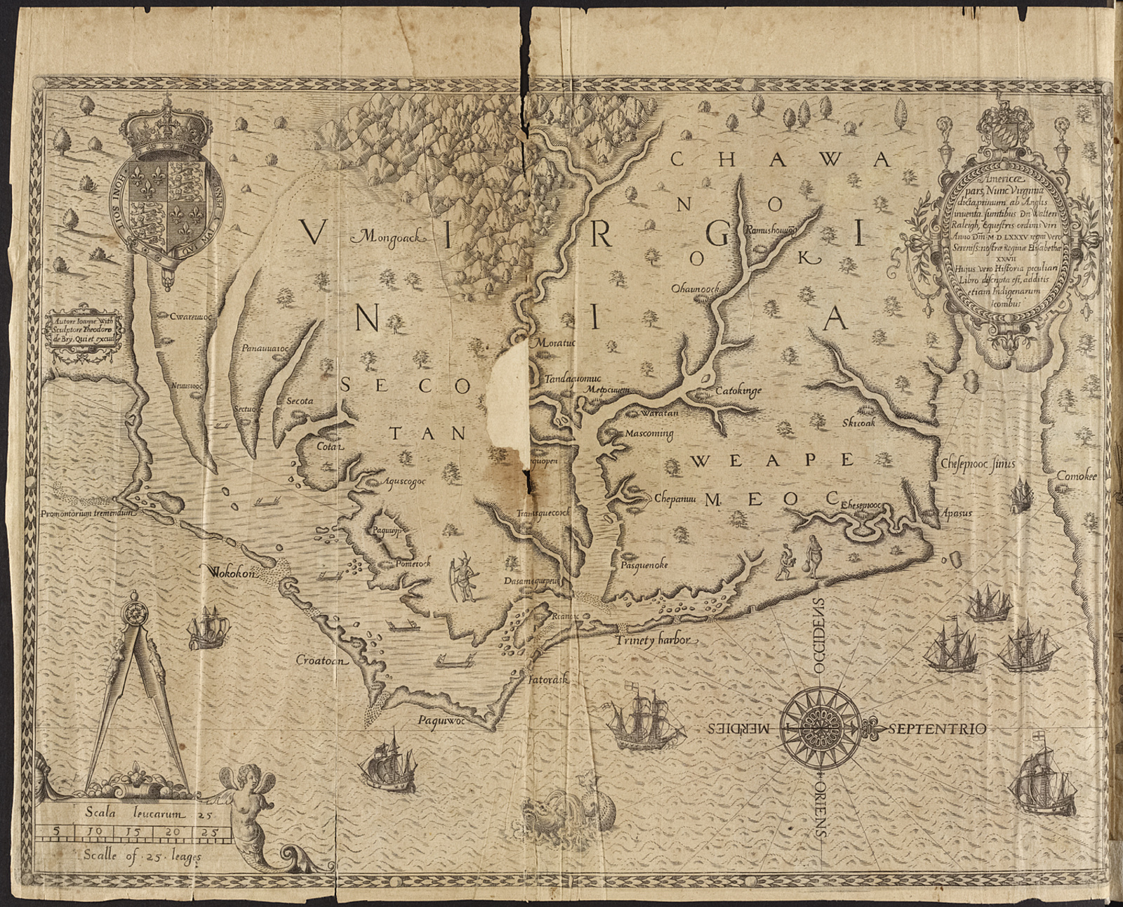
The image shows an old map of the British Virgin Islands, with a black background. It is a detailed map, showing the various islands and bodies of water, as well as the names of the cities and towns within them.
 Open in library
Public domain photos
Open in library