Public domain photos
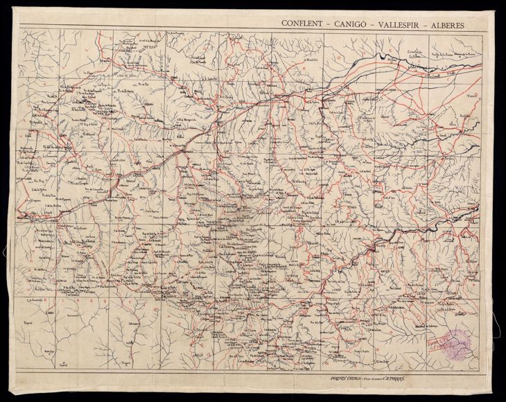
The image shows an old map of the French Alps with a black background. It is a carte de l'alberts, a geographical map of France, with text written on it. The map is detailed and shows the various geographical features of the region, such as mountains, rivers, and cities.
 Open in library