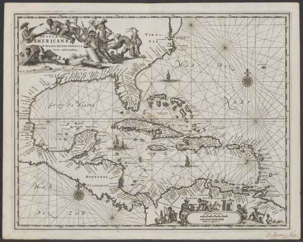
The image shows a map of the British Virgin Islands and the Caribbean Sea, with a black border around it.
Read full description
The image shows a map of the British Virgin Islands and the Caribbean Sea, with a black border around it. The map is detailed and shows the various islands, bodies of water, and other geographical features of the region. The text on the map is written in a bold font, adding to the overall aesthetic of the image.