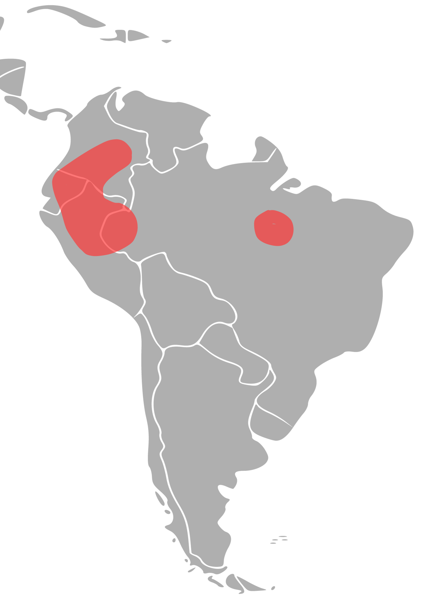
The image shows a map of South America with the provinces highlighted in red.
Read full description
The image shows a map of South America with the provinces highlighted in red. The map is filled with various shades of green, indicating the different regions of the country. The red areas are labeled with the names of the provinces, providing a visual representation of the geographical features of the region.