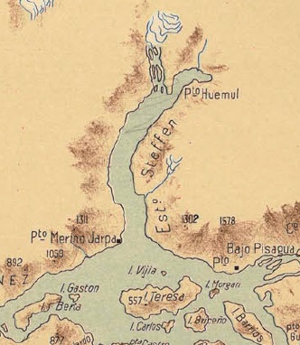
The image shows a map of the British Isles, depicting the extent of the River Thames.
Read full description
The image shows a map of the British Isles, depicting the extent of the River Thames. It is a detailed map, showing the various geographical features of the area, such as rivers, mountains, and cities. The map is filled with intricate details, including the names of the cities and towns, as well as the various bodies of water that make up the river. The colors used in the map are mostly shades of blue, green, and yellow, giving it a warm and inviting feel.