Public domain photos
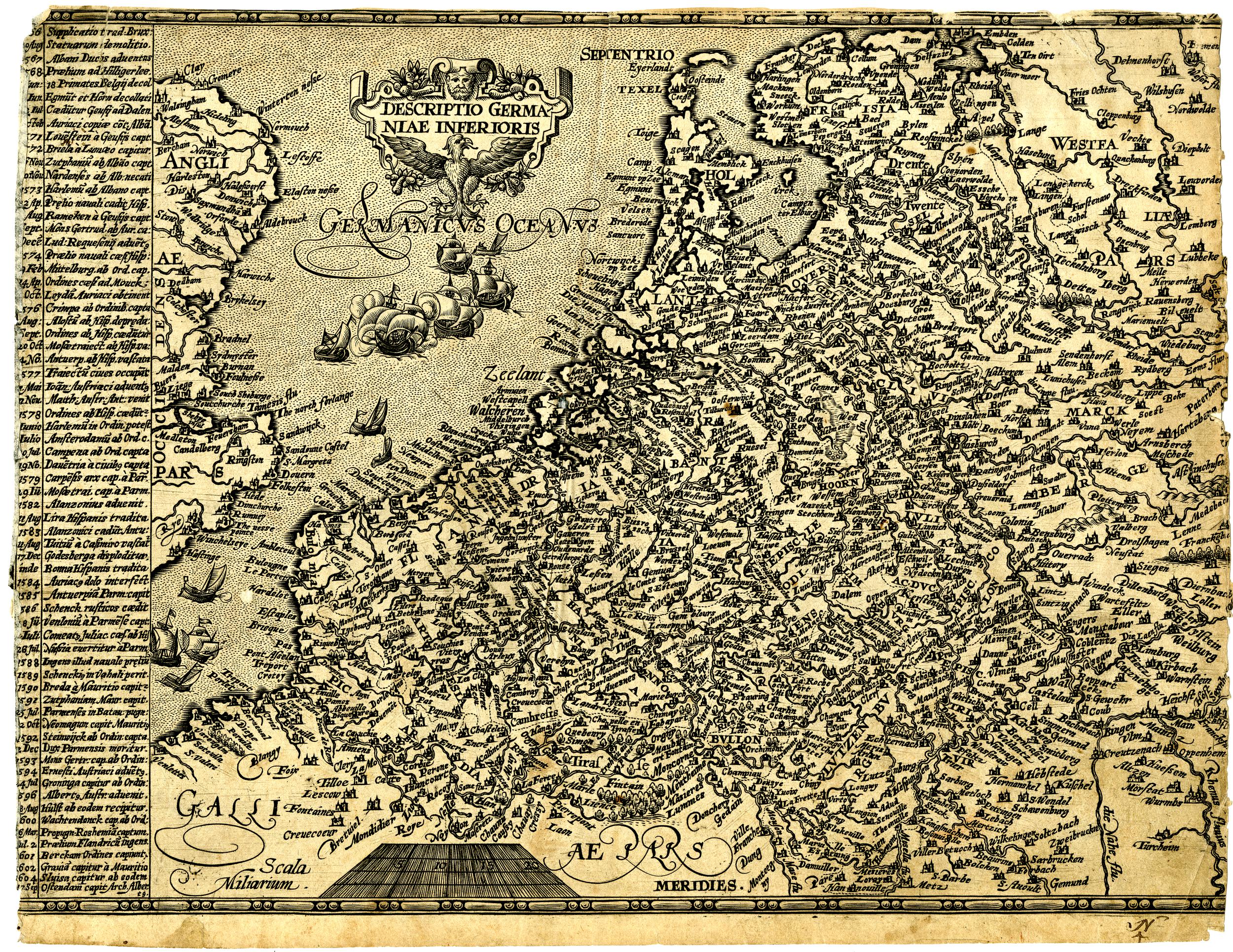
The image shows an old map of the British Isles, with text and pictures on a white background. It is a detailed map, showing the various geographical features of the region, such as rivers, mountains, and cities. The map is filled with intricate details, including the names of cities, towns, and other geographical features. The colors used are mostly shades of blue, green, and yellow, giving the map a vintage feel.
 Open in library