Read full description
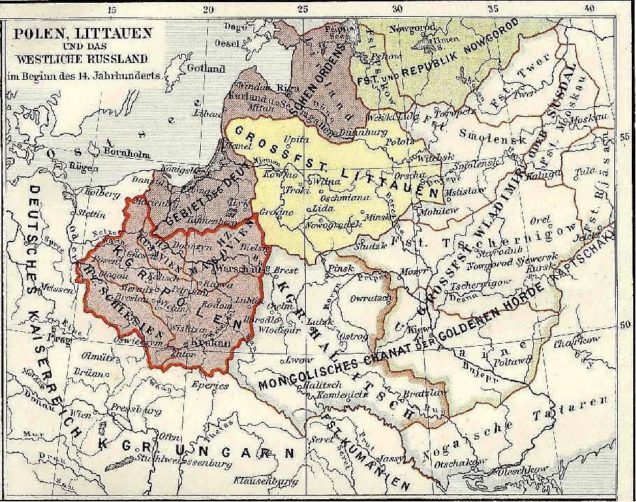
The image shows a map of Poland and Lithuania during the Battle of the Bulge, with text and numbers indicating the extent of the conflict between the two countries. The map is filled with intricate details, showing the various cities, towns, and other geographical features of the region. The colors used are mostly shades of blue, green, and yellow, with some red and white accents. The text on the map is written in a bold font, and the numbers are in a smaller font size.