Read full description
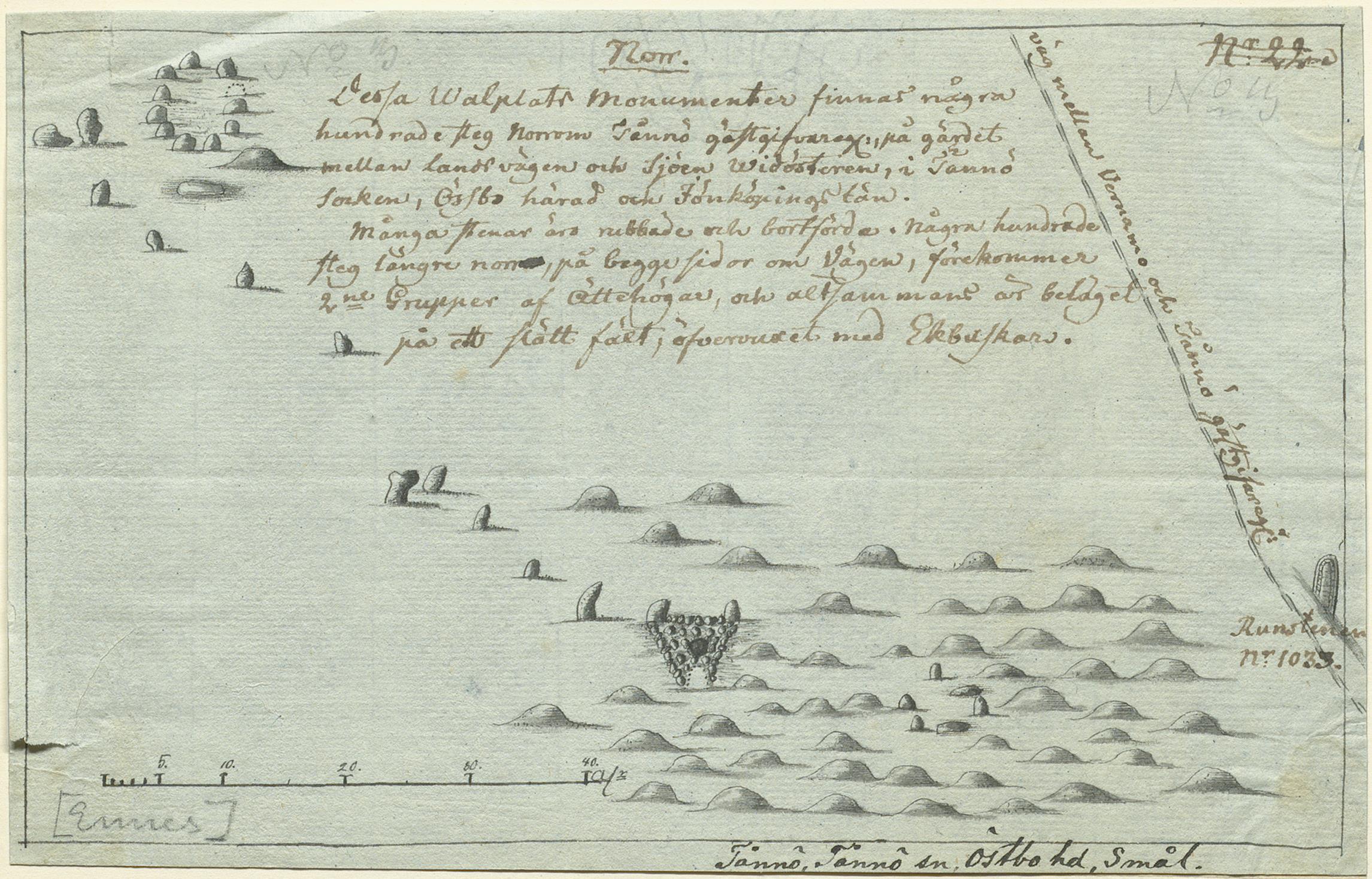
The image shows a drawing of a map of a body of water with a lot of rocks in it, which is believed to be a map from the 17th century depicting the location of the Falkland Islands. The paper also contains some text, likely providing further information about the islands.