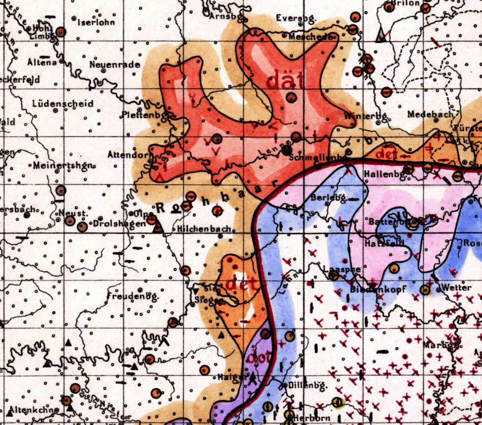
The image shows a map of Germany with different colors indicating the extent of the German Empire.
Read full description
The image shows a map of Germany with different colors indicating the extent of the German Empire. The map is filled with various shades of blue, green, and yellow, representing the different regions of the country. The colors range from light blue to dark blue, with some areas of yellow indicating higher elevations. The text on the map provides additional information about the map, such as the names of cities, towns, and other geographical features.