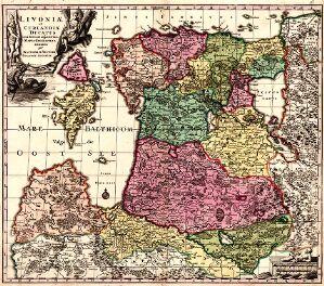
The image shows an antique map of England and Wales from the 16th century, with the provinces of England, Wales, Scotland, and Scotland clearly visible.
Read full description
The image shows an antique map of England and Wales from the 16th century, with the provinces of England, Wales, Scotland, and Scotland clearly visible. The map is framed in a photo frame, giving it a classic and timeless look.