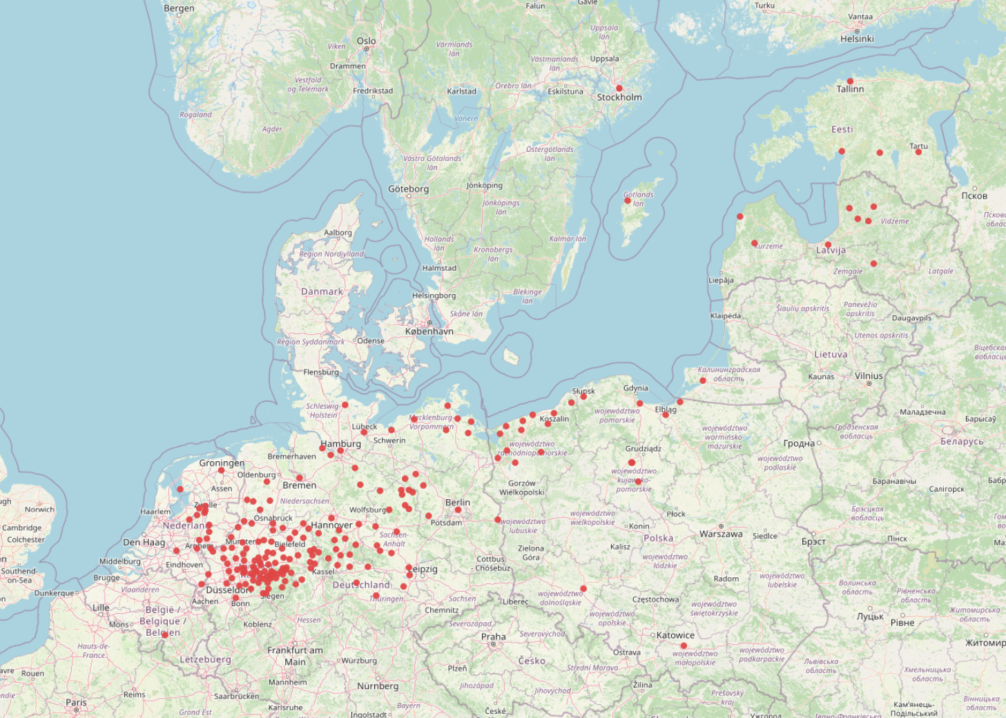
The image shows a map of Denmark with red dots indicating the locations of all the major cities in the country.
Read full description
The image shows a map of Denmark with red dots indicating the locations of all the major cities in the country. The map is detailed and shows the various cities and towns within the country, as well as the surrounding area. The red dots indicate the number of people living in each city, providing a visual representation of the population density of the area.