Public domain photos
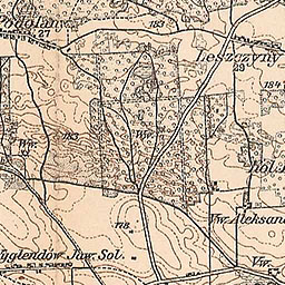
The image shows an old topographic map of the city of St. Louis, Missouri. It is a top view of the map, showing the contours of the land and the surrounding area. The map is detailed, showing roads, buildings, and other features of the area.
 Open in library