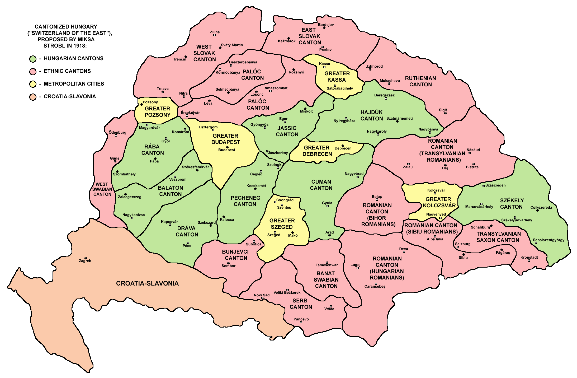
The image shows a political map of Hungary with its provinces and their capitals, as well as text indicating the names of the countries.
Read full description
The image shows a political map of Hungary with its provinces and their capitals, as well as text indicating the names of the countries. The map is filled with different colors, each representing a different country, and the text is written in a bold font. The colors range from light blue to dark blue, with the provinces in shades of green, yellow, and red. The text is centered in the middle of the map and is surrounded by a white border.