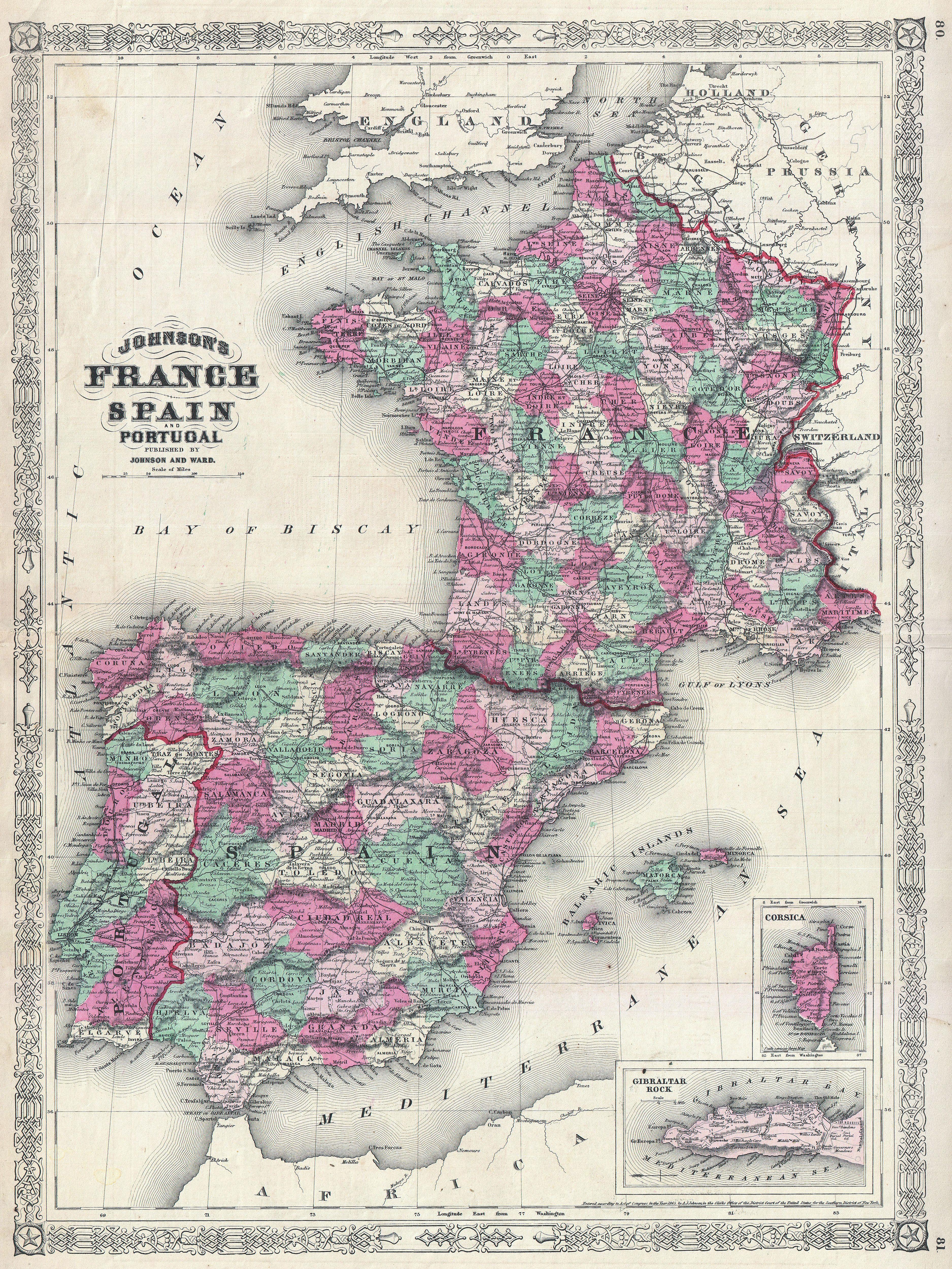
The image shows an old map of France with the provinces of Spain and Portugal.
Read full description
The image shows an old map of France with the provinces of Spain and Portugal. The map is printed on a paper with text at the top and bottom. The provinces are clearly visible, with each province outlined in a different color. The colors range from light blue to dark blue, with the darker blue representing the provinces. The text on the map provides additional information about the provinces, such as their names, cities, and other geographical features.