Public domain photos
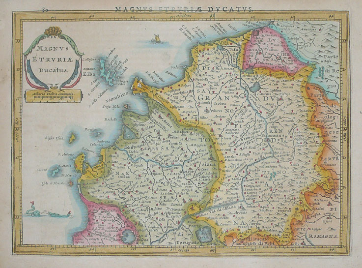
The image shows an old map of the kingdom of England and Wales, with the provinces of England, Wales, and Scotland clearly visible. The map is printed on a paper with text written on it, providing detailed information about the region.
 Open in library