Public domain photos
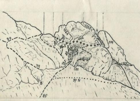
The image shows a drawing of a mountain with a lot of lines and numbers on it, which is believed to be a map of the route to the top of the mountain. The map is detailed and shows the various terrain features of the area, such as mountains, valleys, and ridges, as well as the various points of interest along the route. The numbers on the map indicate the direction of the hike, and the text at the bottom of the image provides further information about the route and its significance.
 Open in library