Public domain photos
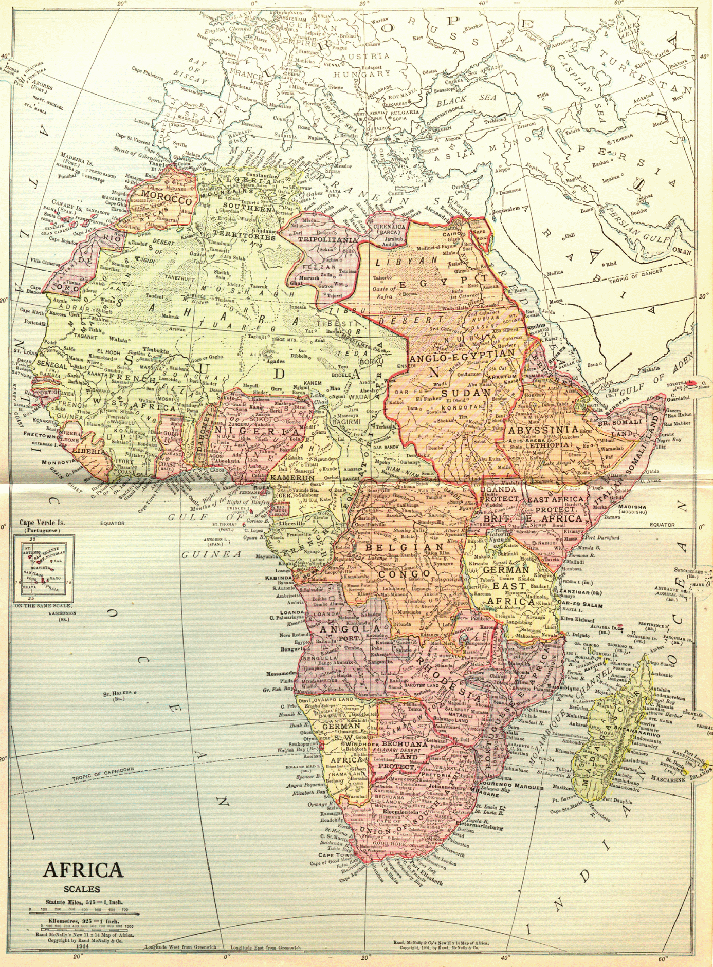
The image shows an old map of Africa from the 19th century. It is a paper map with text at the bottom. The map is detailed and shows the various countries and regions of the continent. The colors used are mostly shades of blue and green, with some yellow and red accents. The borders of the map are outlined in black and the countries are labeled with their names.
 Open in library