Public domain photos
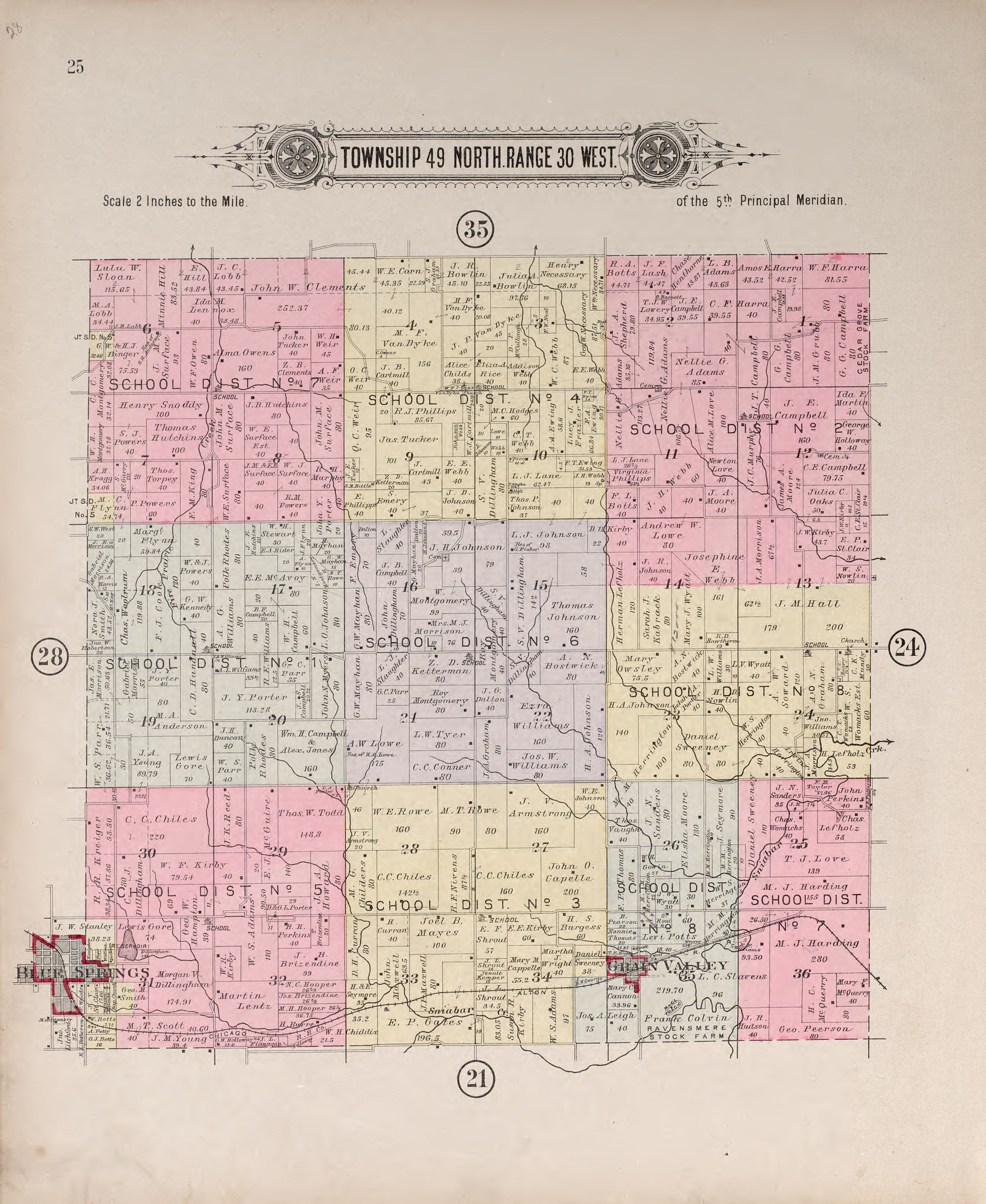
The image shows an old map of the city of Wichita, Kansas, with the township of 49 North Range 30 West clearly marked. The map is filled with text and numbers, providing detailed information about the county.
 Open in library
Public domain photos
Open in library