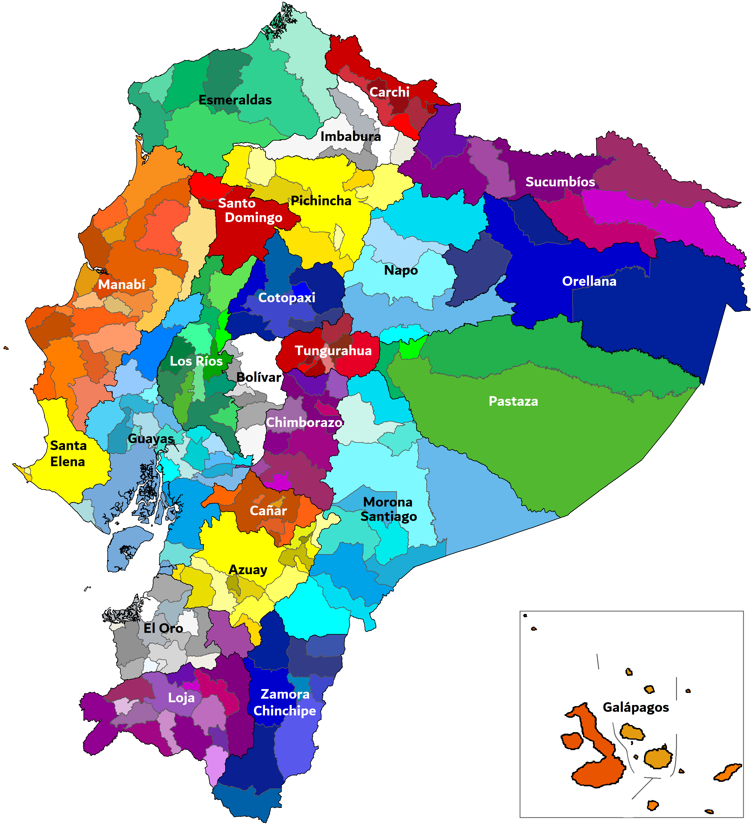
The image shows a political map of Colombia with its provinces and their capitals.
Read full description
The image shows a political map of Colombia with its provinces and their capitals. The map is filled with different colors, each representing a different province, and text labels indicating the names of the provinces.