← Image collections
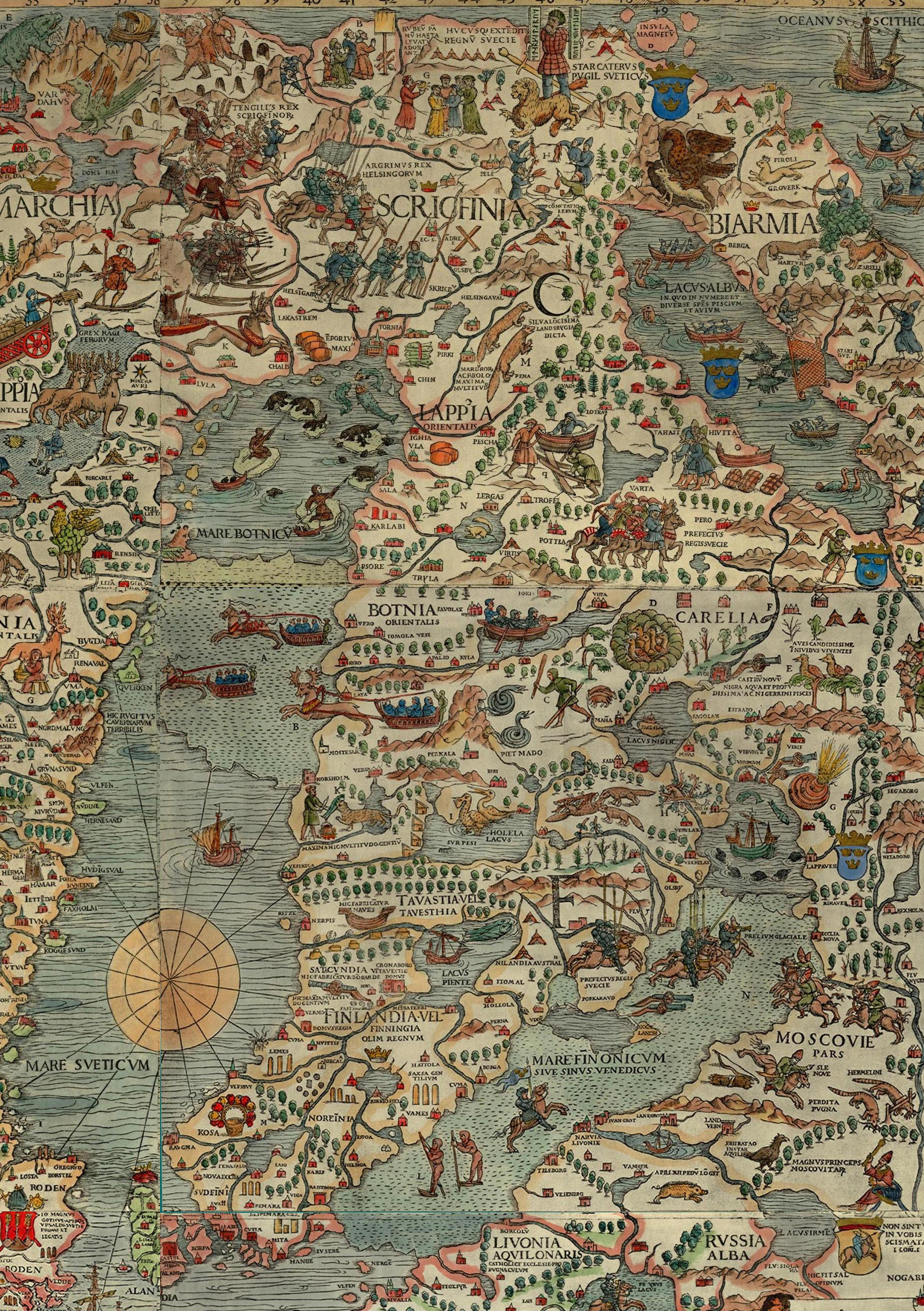
The image shows a poster of a map of Europe from the 16th century, depicting the extent of the Roman Empire. It is a detailed map, with various geographical features such as rivers, mountains, and cities labeled. The colors used are mostly shades of blue and green, with some yellow and red accents. The map is filled with intricate details, such as the names of cities, rivers, and other geographical features.

More from PD12M

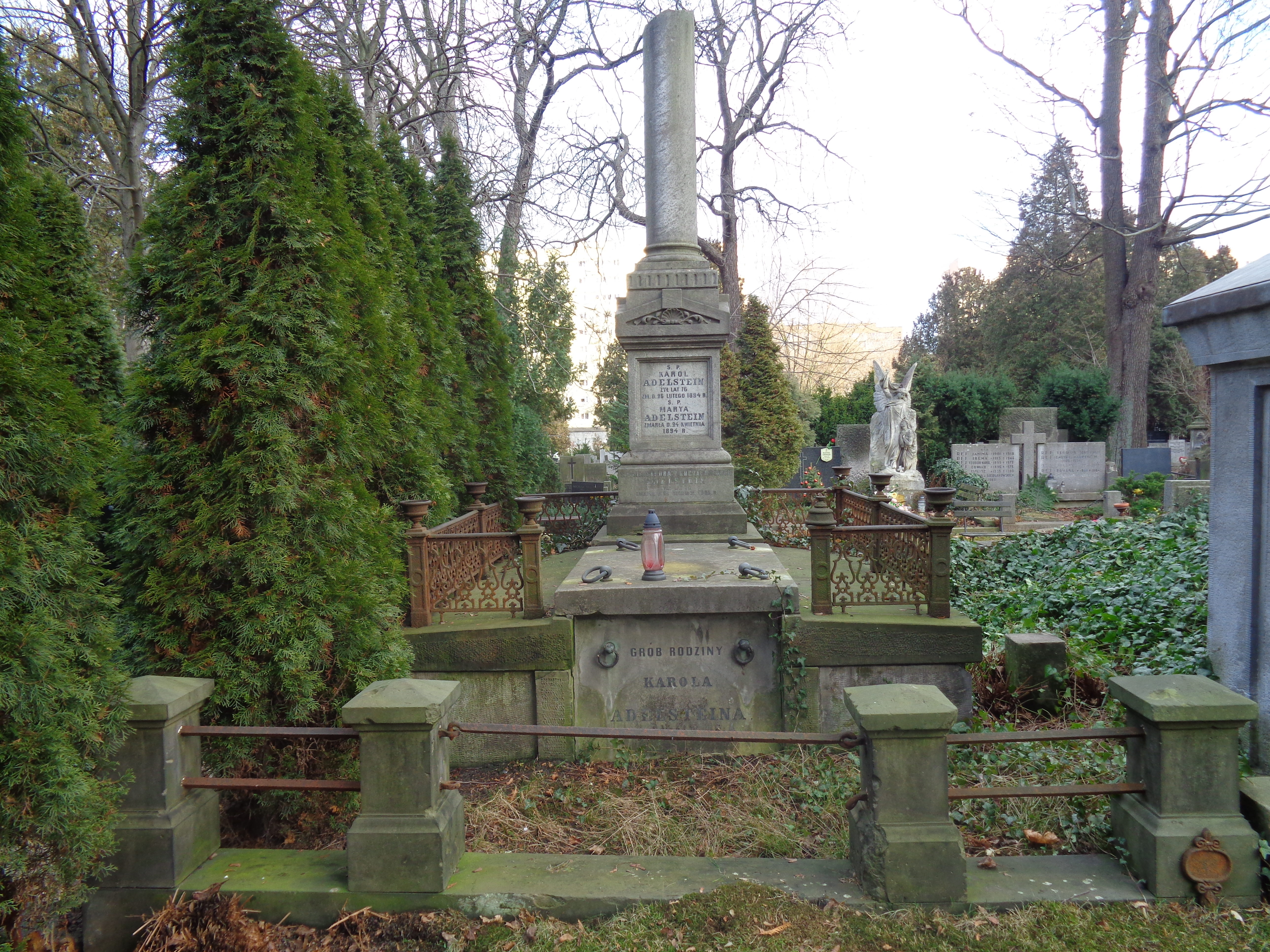
The image shows a cemetery with a grave in the middle of it surrounded by trees and bushes. On the grave is a pillar with text inscribed on it, and there is a railing around it. The ground is covered with grass and dried leaves, and the sky can be seen in the background.
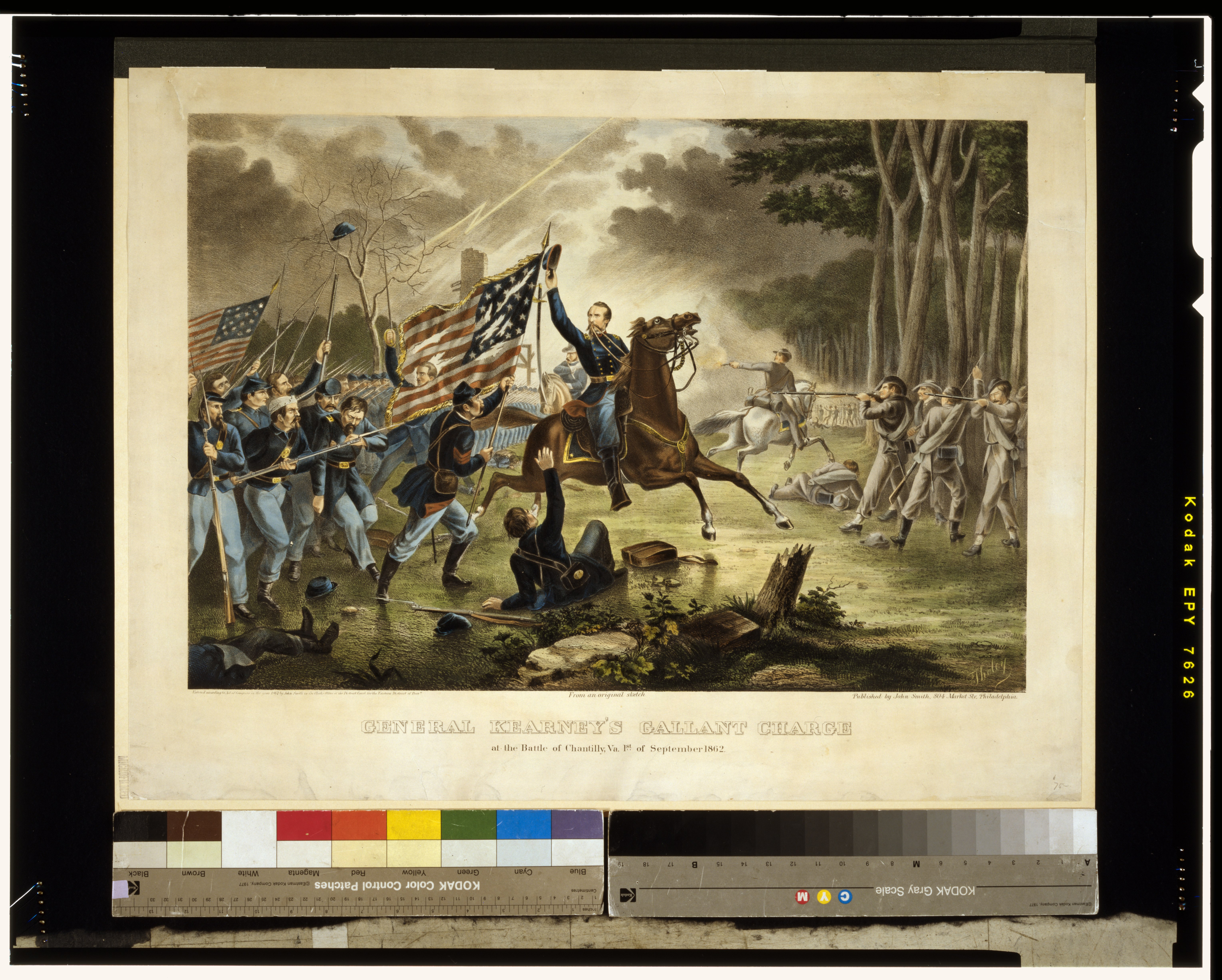
The image shows a group of people on horseback, some of them holding flags, with trees in the background and a sky above. At the bottom of the image is text that reads "General Kranney's Ballant Charge at the Battle of Chincoteague, Va. of September 1862".
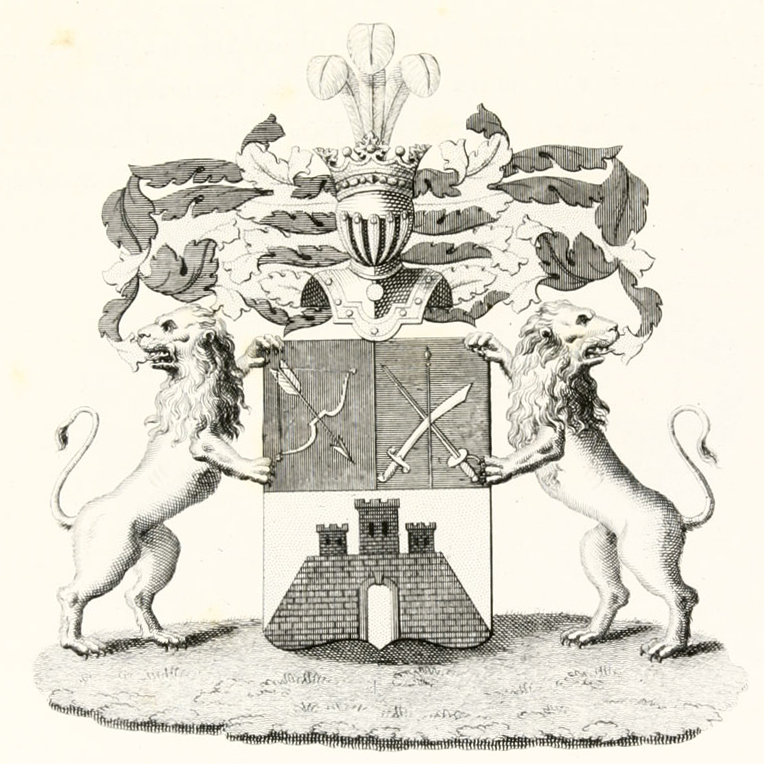
The image shows a black and white drawing of two lions standing in front of a coat of arms, which consists of a shield with two lions on either side and a crown at the top. At the bottom of the image, there is some text.
The image shows a black and white drawing of a city with windmills, houses, trees, people, and clouds in the sky. At the bottom of the image, there is some text.
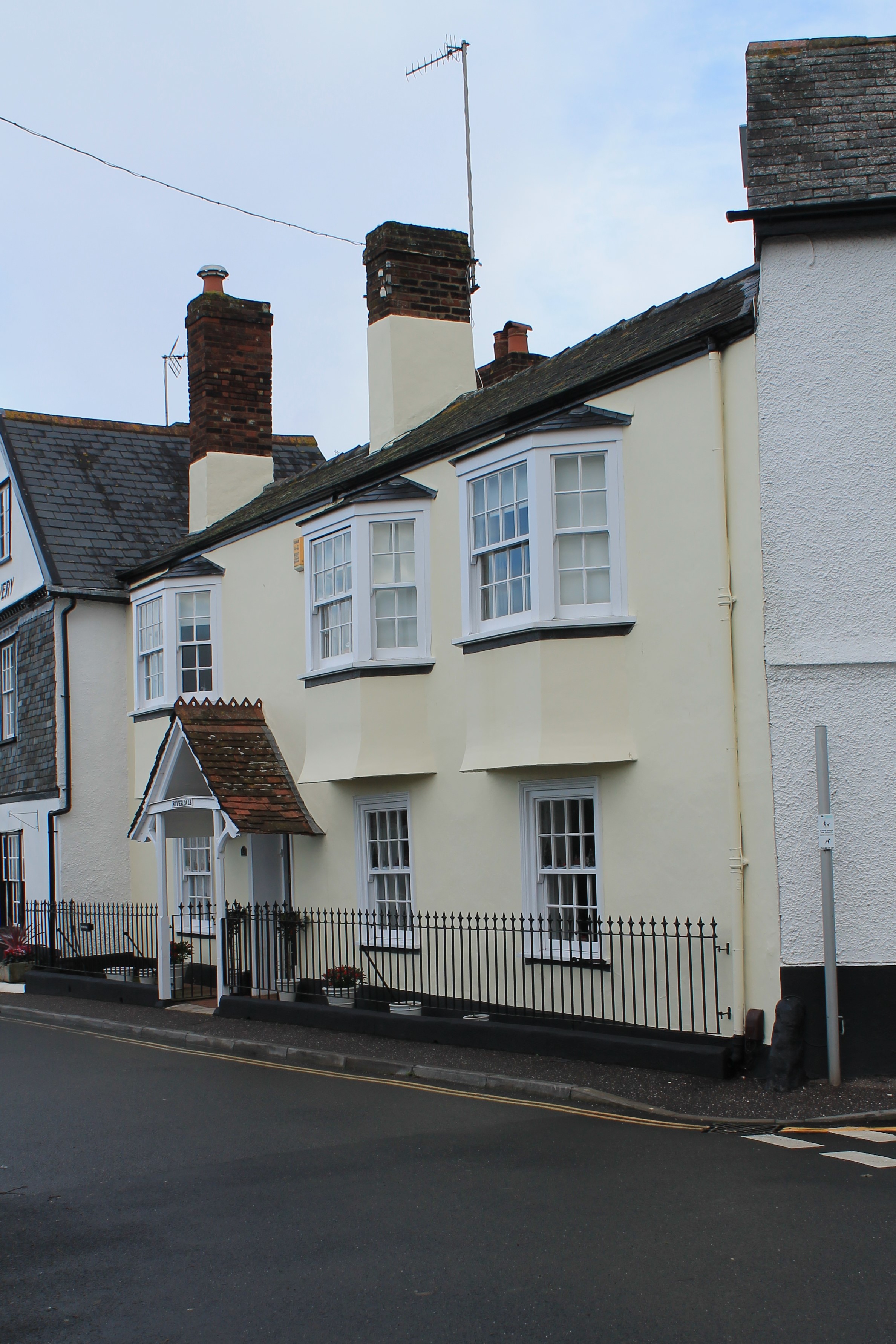
The image shows a row of white houses on the side of a road, with a railing in front of them. The houses have windows, and in the background there is a sky with clouds.
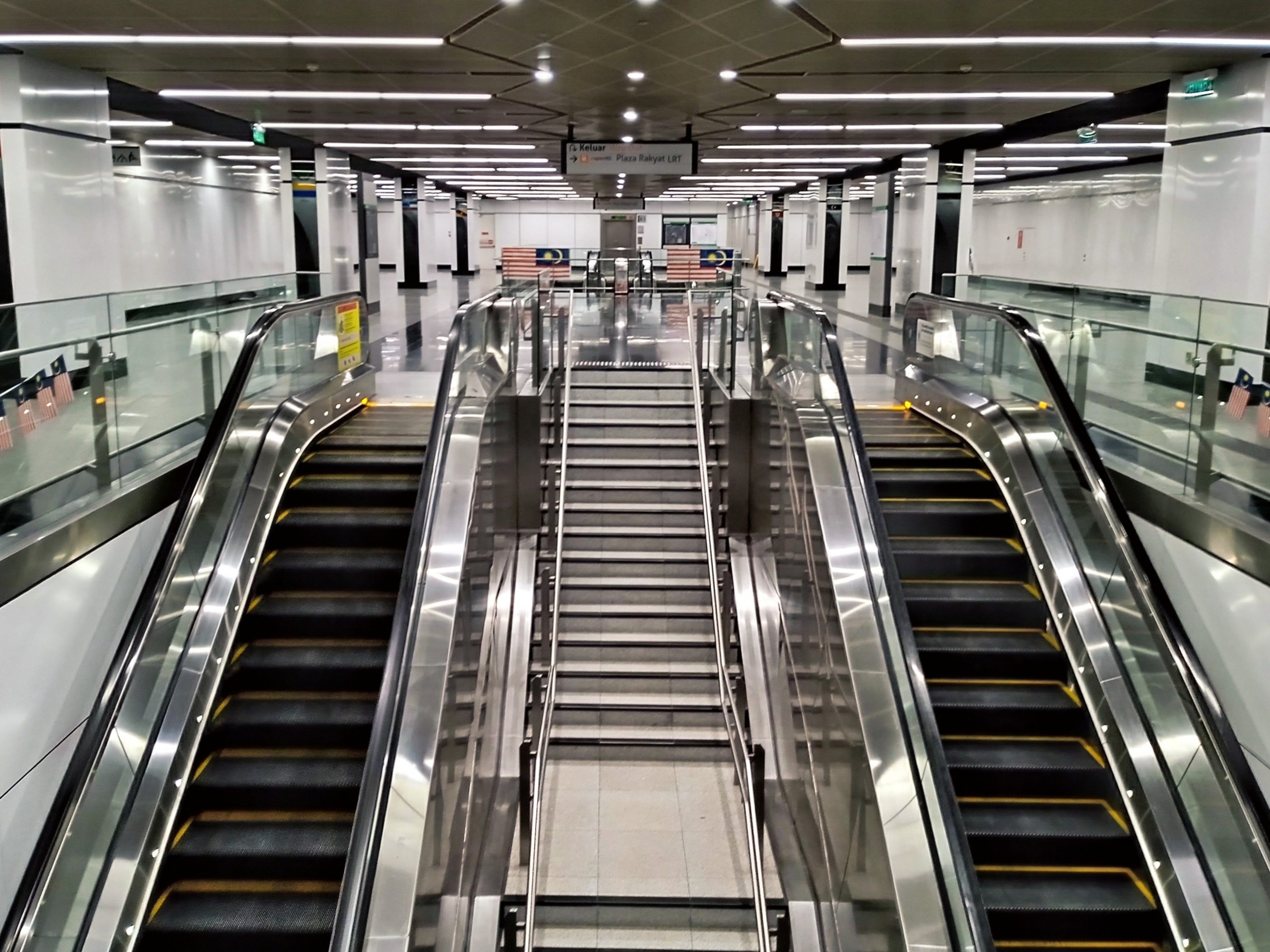
The image shows an escalator in a subway station with people walking down it. The escalator is surrounded by glass railings and pillars, and there are boards with text on the walls. The ceiling is illuminated with lights, giving the station a bright and inviting atmosphere.
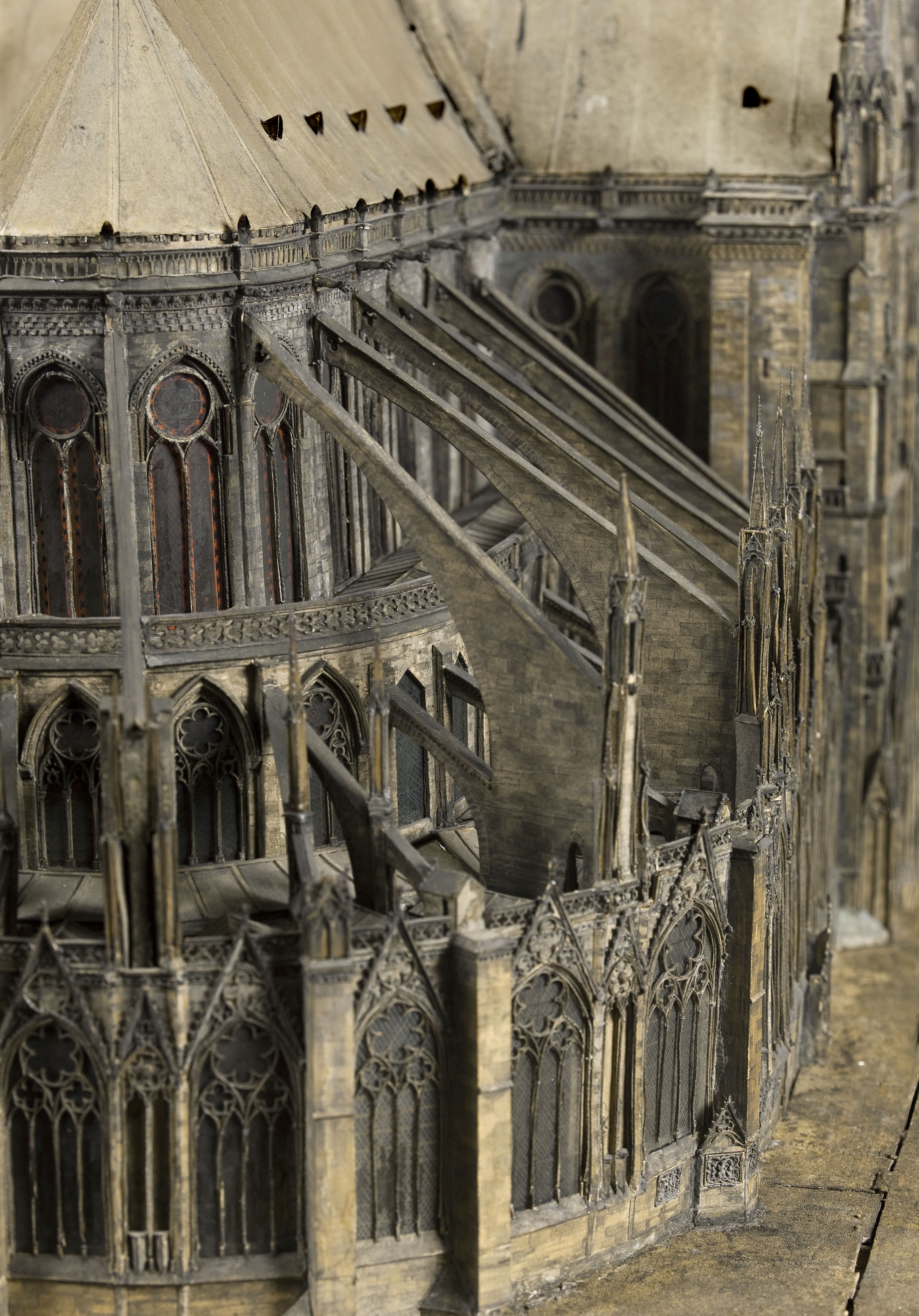
The image shows a model of a building with a clock tower on top of it. The building has windows and a roof, giving it a majestic look. The clock tower stands tall and proud, with its intricate details and grandeur.
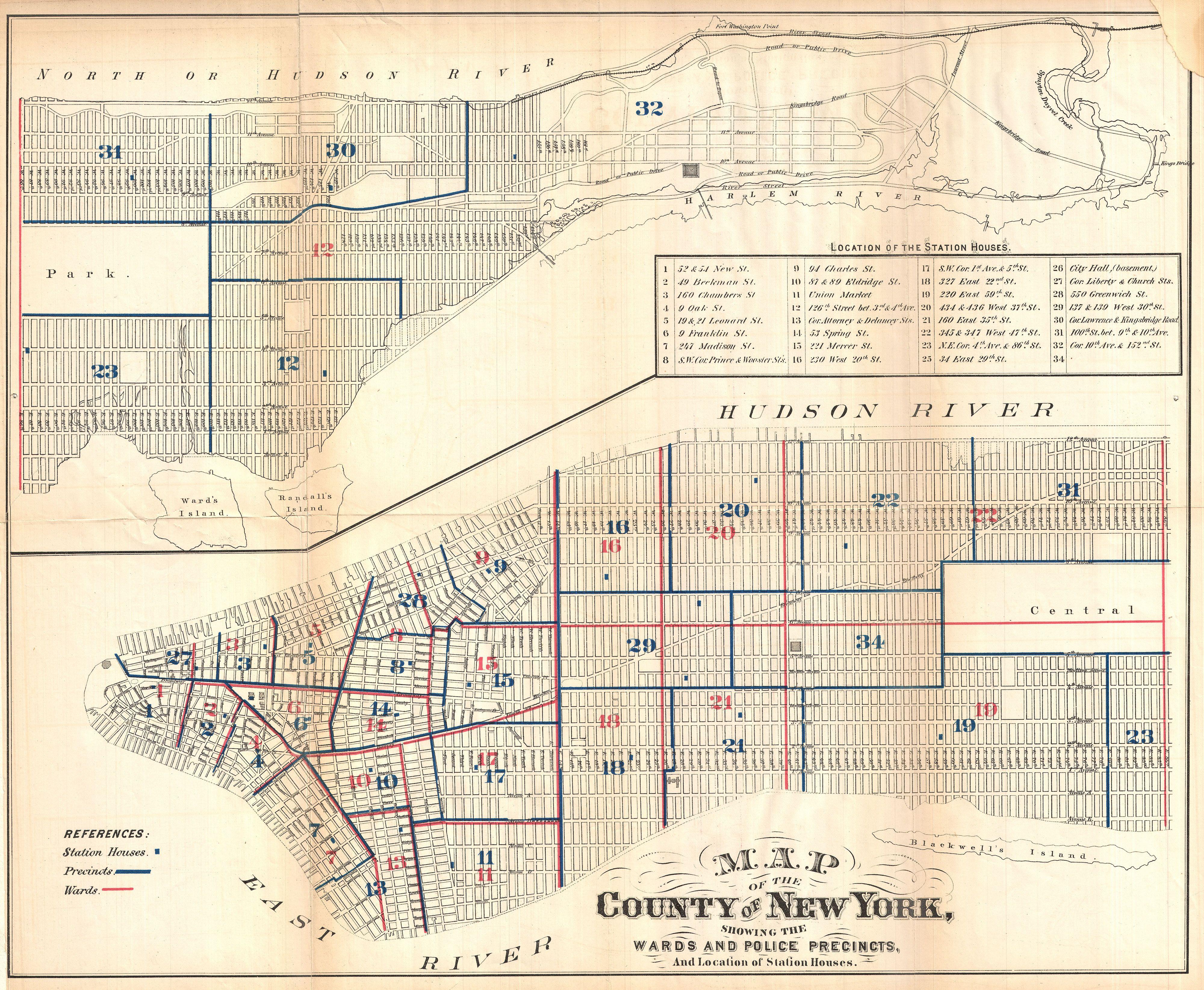
The image shows an old map of the city of New York, with the Hudson River running through it. The map is detailed, showing the streets, parks, and other landmarks of the area. The text on the paper provides additional information about the map, such as the names of the towns and cities.
Explore collections