← Image collections
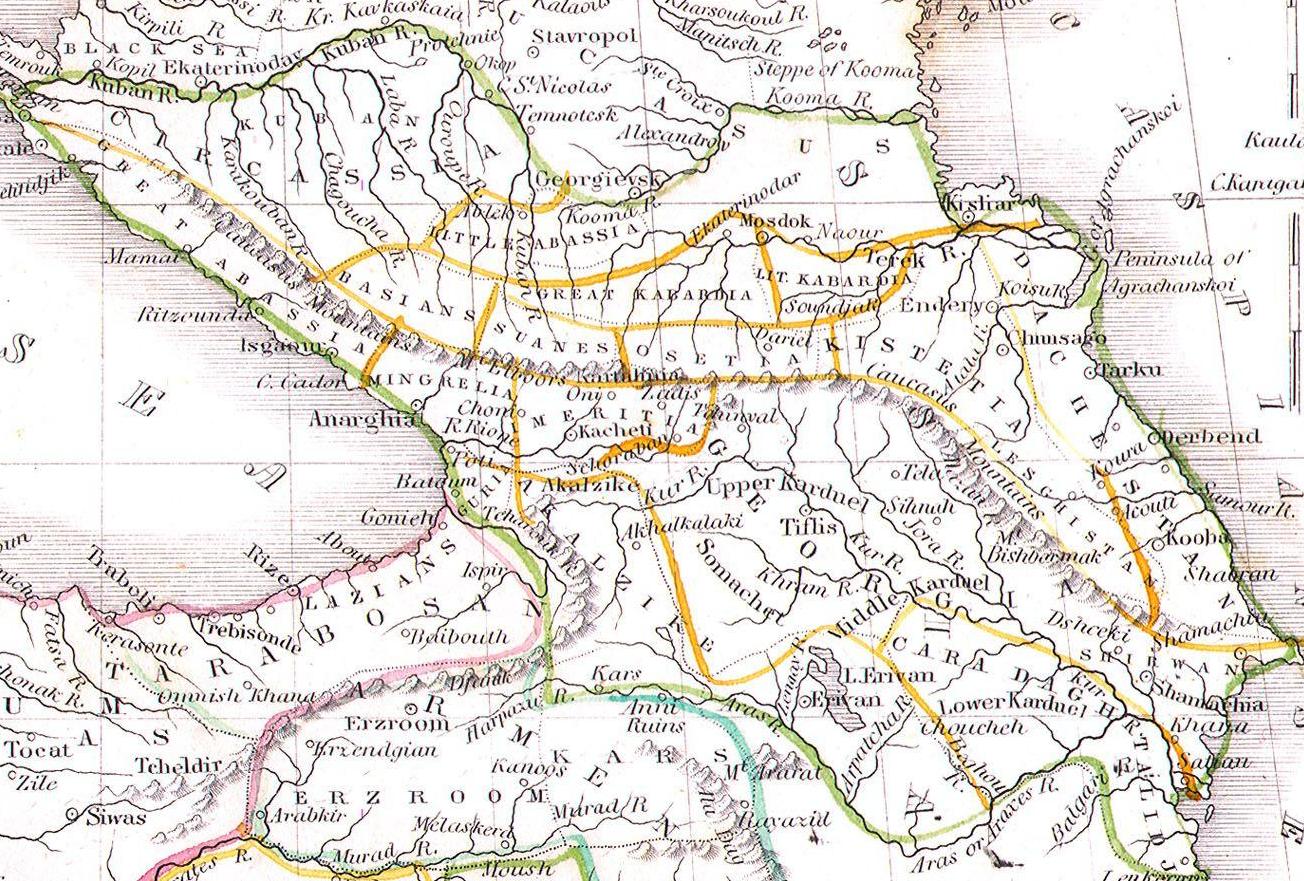
The image shows an old map of the Middle East, depicting the extent of the Persian Empire. It is a detailed map, showing the various cities, rivers, and other geographical features of the region. The map is filled with intricate details, such as mountains, valleys, and cities, as well as labels for each city. The colors used are mostly shades of blue, green, and yellow, giving the map a vibrant and lively look.

More from PD12M

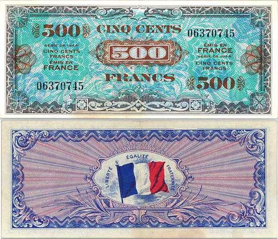
The image shows two French 500 francs banknotes from 1944, each with a picture of the French flag on them. The notes have numbers and text printed on them, and the background of the image is white.
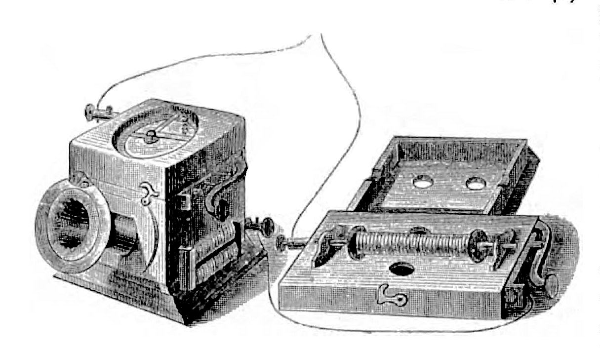
The image shows a black and white drawing of a machine with a clock on it, which is believed to be a phonograph. The text accompanying the drawing provides further details about the device, such as its purpose and how it works.
The image shows a white plate topped with grilled shrimp covered in a savory sauce and garnished with fresh herbs. The plate is sitting on a platform, giving the viewer a close-up look at the delicious meal.
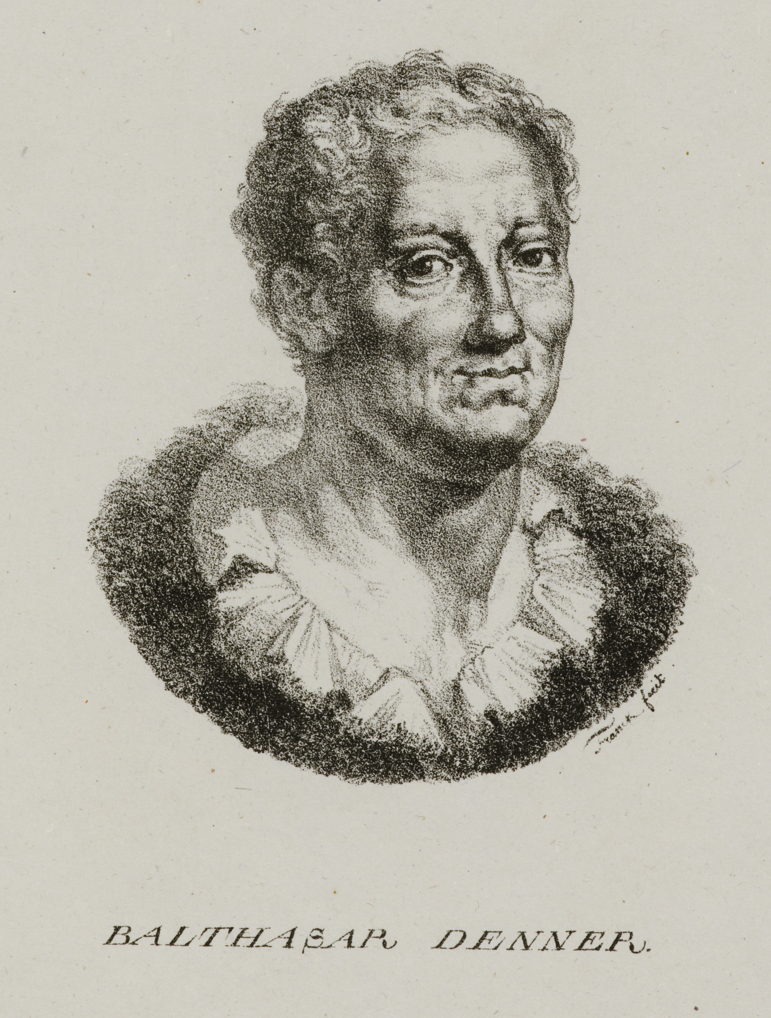
The image shows a black and white drawing of a man with curly hair. At the bottom of the image, there is some text.
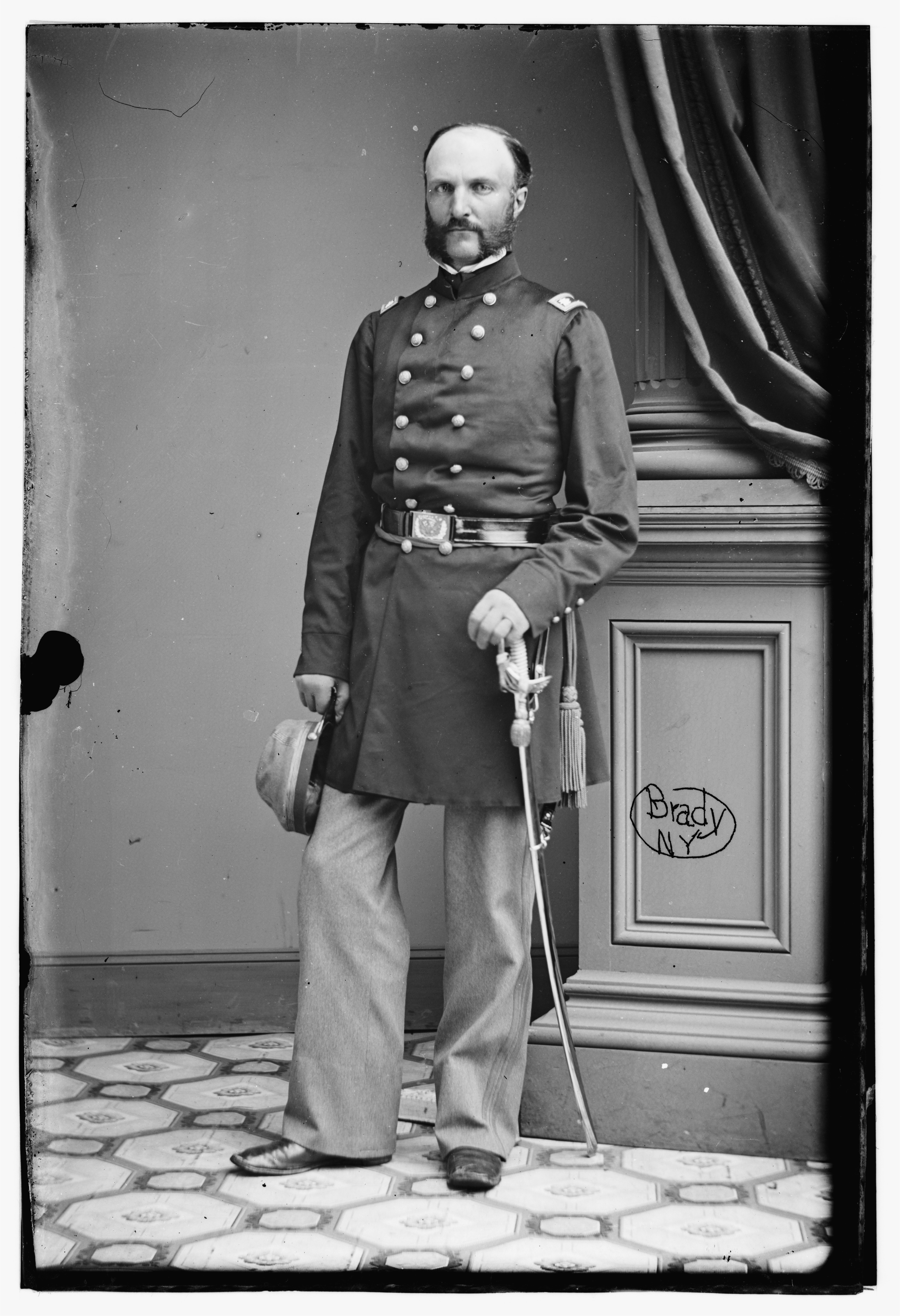
The image shows an old black and white photo of a man in uniform, standing on the floor and holding a stick in one hand and a hat in the other. Behind him is a wall with a curtain draped over it.
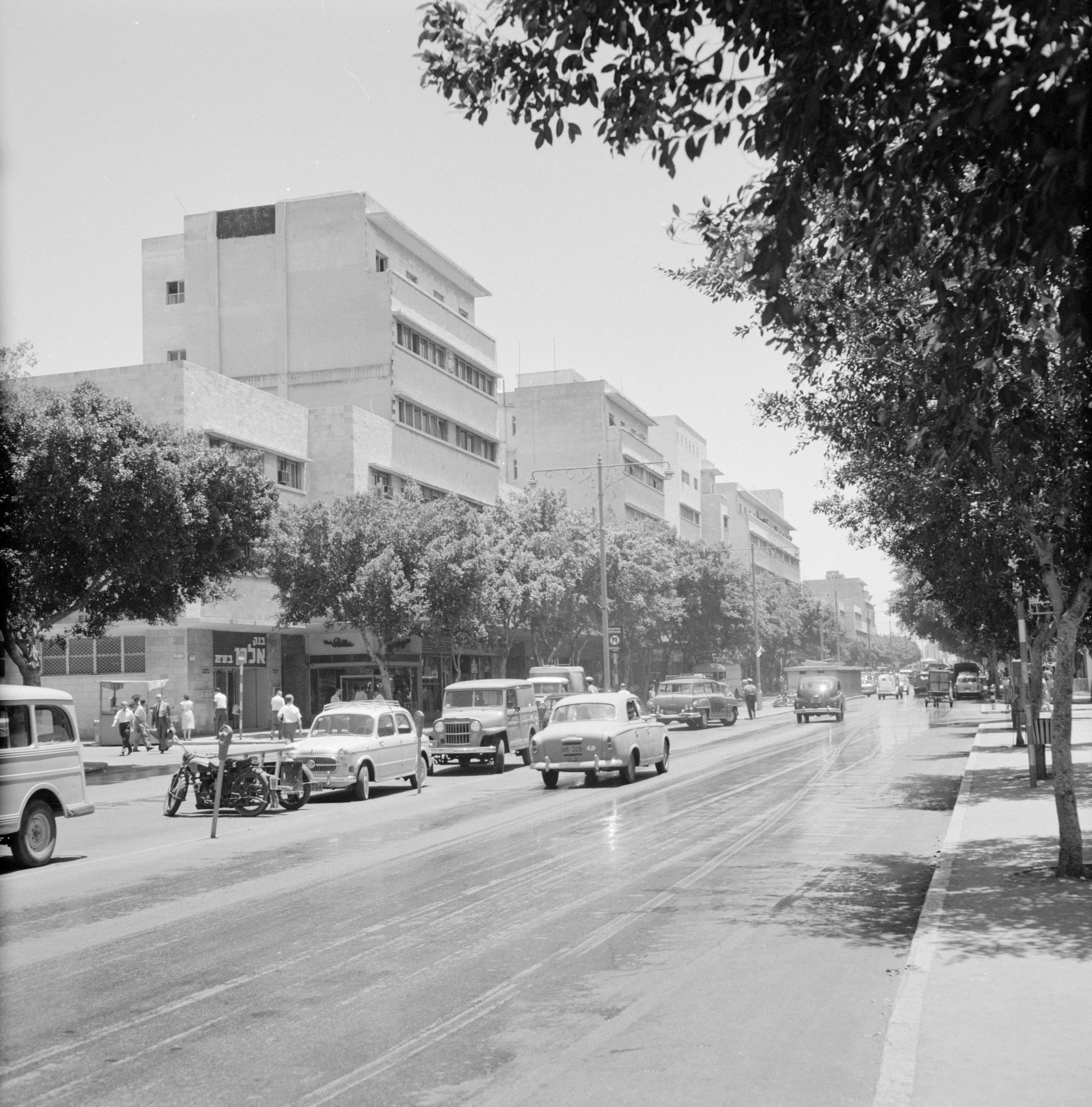
The image shows a black and white photo of a city street with cars and motorcycles driving down it, surrounded by trees and buildings with windows in the background and a clear sky above.
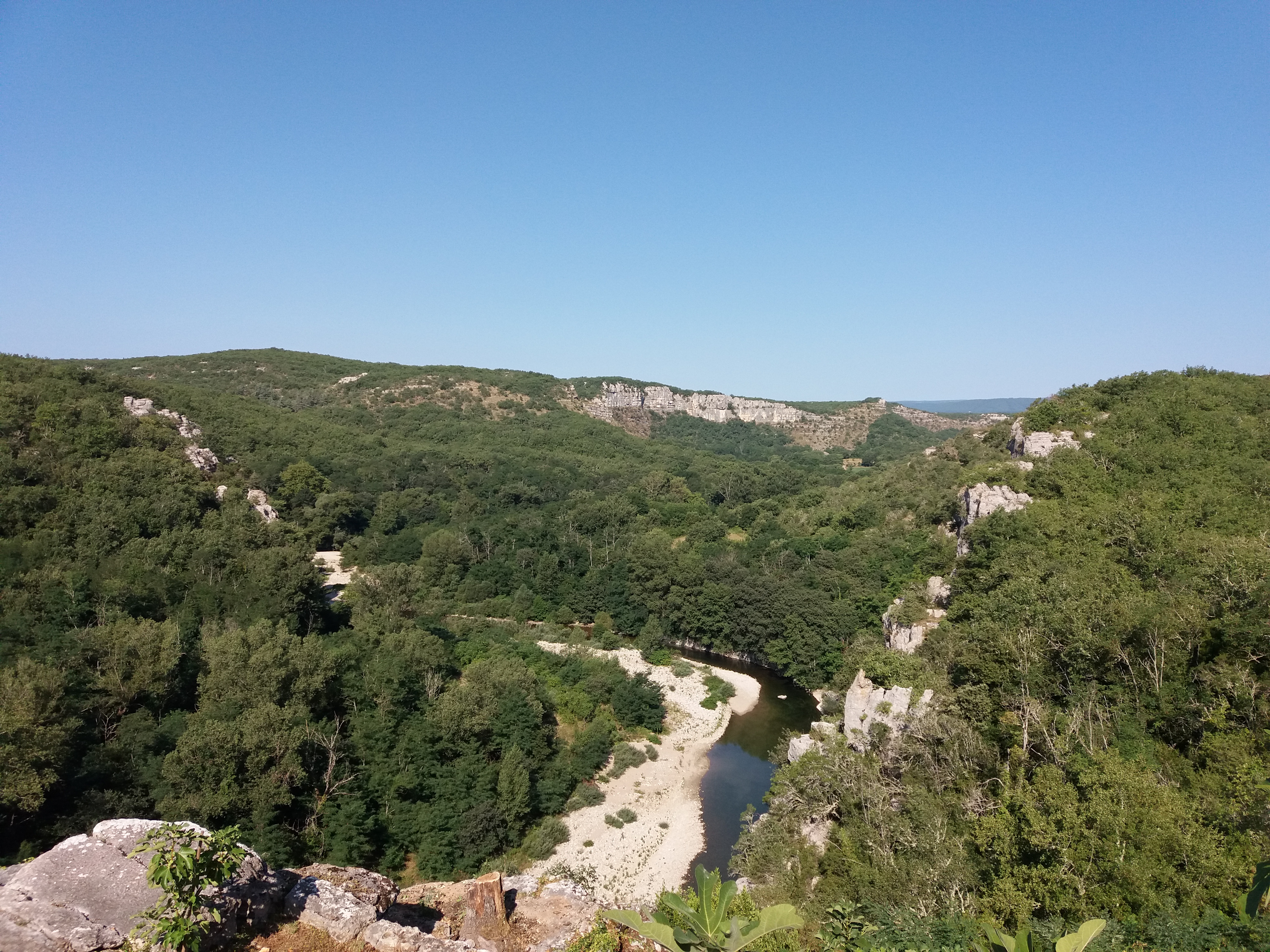
The image shows a view of a river running through a lush green forest, with trees, plants, rocks, and hills in the foreground and a clear blue sky in the background.
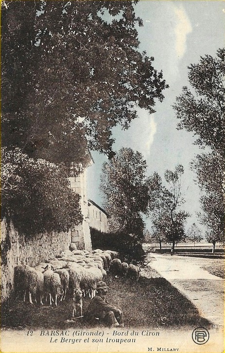
The image shows an old black and white photo of a man sitting on the ground surrounded by a herd of sheep. In the background, there are trees, a building, and a sky with clouds. At the bottom of the image, there is text.
Explore collections