← Image collections
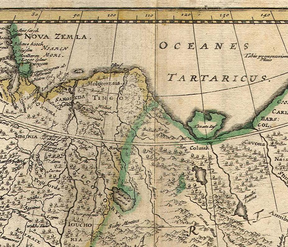
The image shows an old map of the British Isles, depicting the extent of the Mediterranean Sea. It is a detailed map, showing the various geographical features of the region, such as rivers, mountains, and cities. The map is filled with intricate details, including the names of cities, towns, and other geographical features. The colors used are mostly shades of blue, green, and yellow, giving the map a vibrant and lively feel.

More from PD12M

The image shows a painting of a man wearing a red robe and a white wig, with a wall in the background. The man is believed to be King Henry VIII, as indicated by the text at the bottom of the painting.
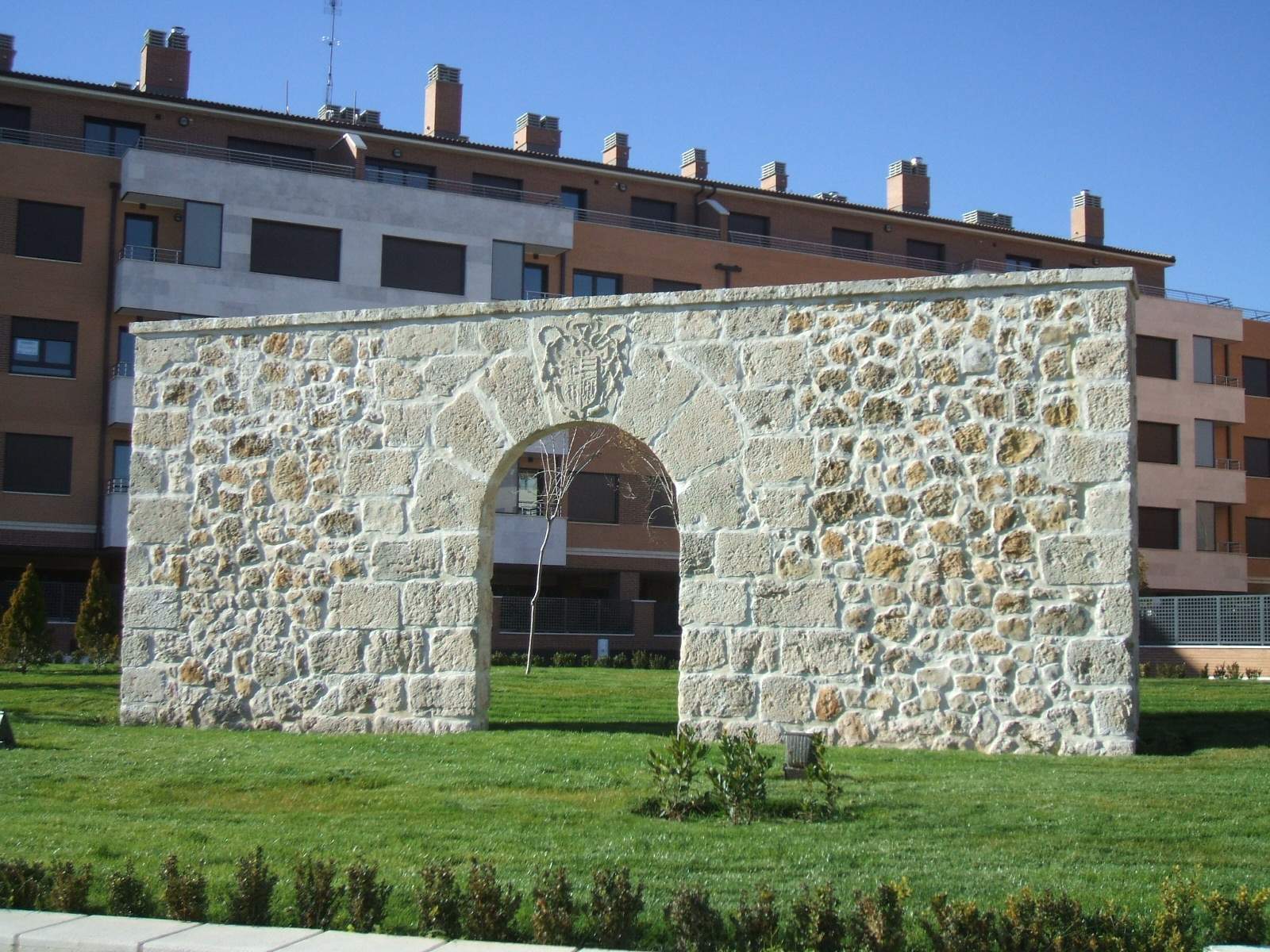
The image shows a stone archway in the middle of a grassy field, surrounded by plants and trees. In the background, there is a building with windows, railings, and poles, and the sky is visible above.
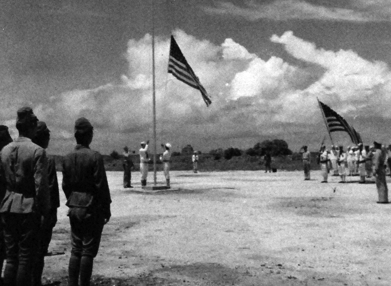
The image shows a group of men standing next to each other in front of an American flag, with trees in the background and clouds in the sky. The image is in black and white.
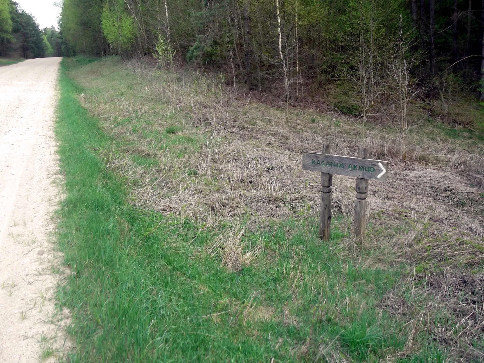
The image shows a dirt road with a sign on the side of it, surrounded by grass and trees, with a clear blue sky in the background.
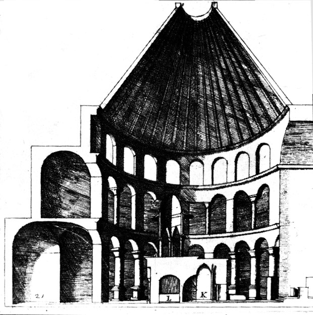
The image shows a black and white drawing of a building with a dome, which is believed to be the Church of the Holy Sepulchre in Jerusalem. The building is adorned with arches and pillars, and there is text at the bottom of the image.
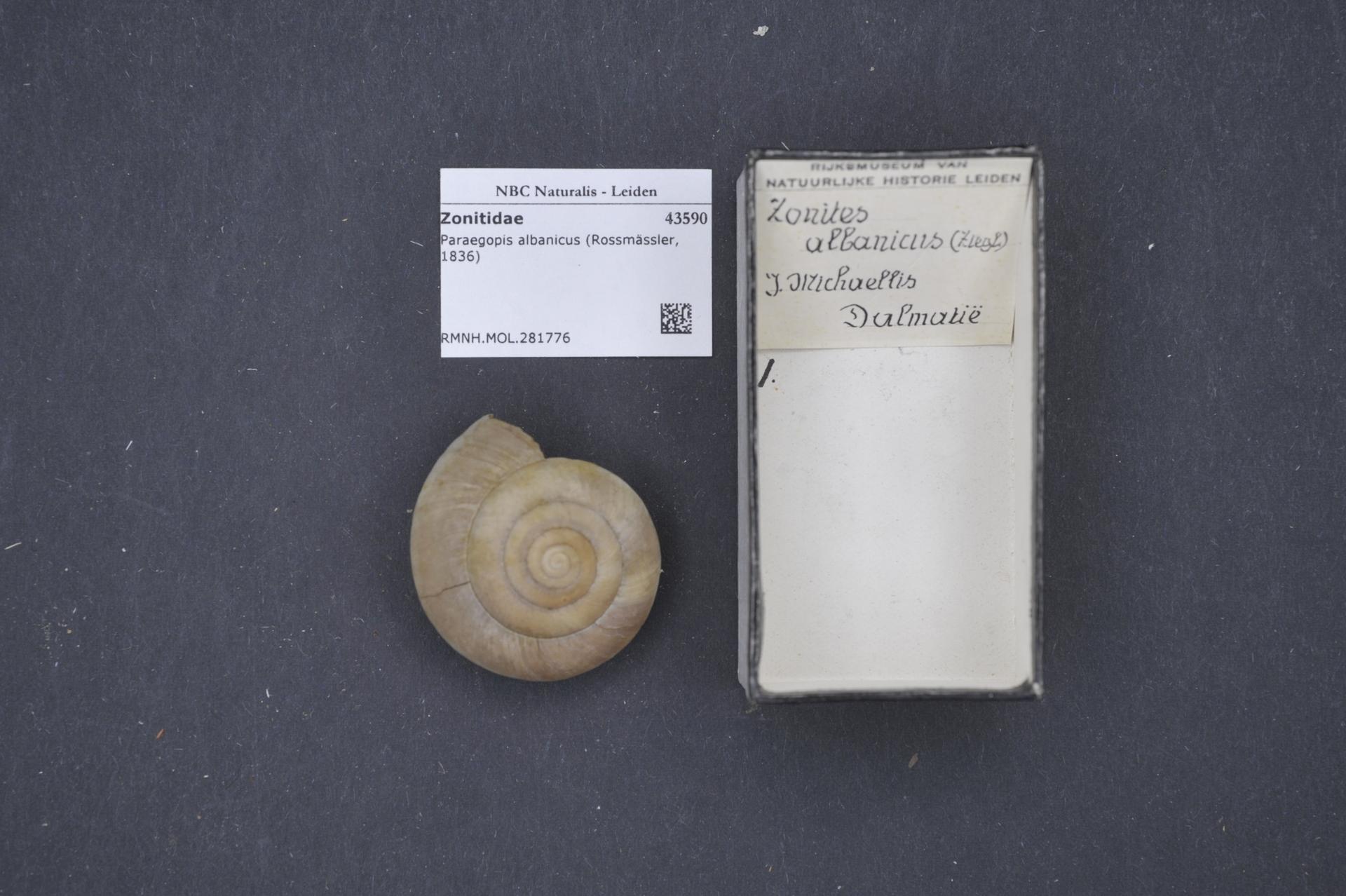
The image shows a fossilized ammonite from the Pleistocene era, with its spiral shell resting on a black surface next to a piece of paper with text on it.
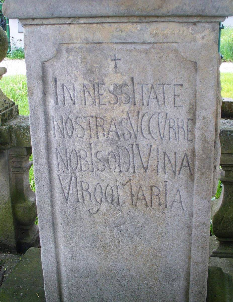
The image shows a stone monument with writing on it in front of a building, surrounded by grass and trees in the background. The inscription on the monument reads "In Nessitate Nostrasvccurre Nobisodivina Virgoi Maria".
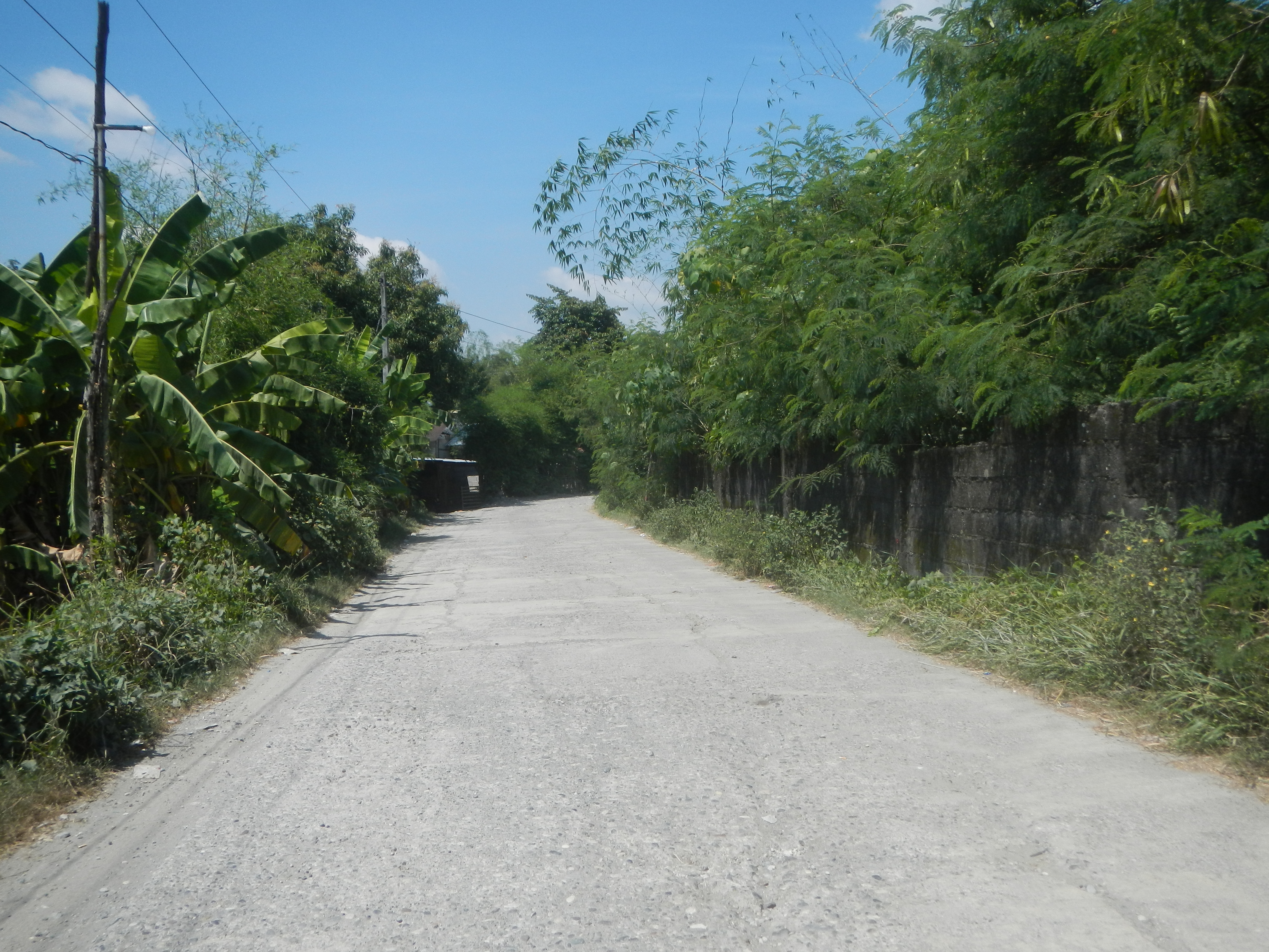
The image shows a dirt road winding through a lush green forest, with trees, plants, and a wall on either side. In the background, the sky is filled with white, fluffy clouds.
Explore collections