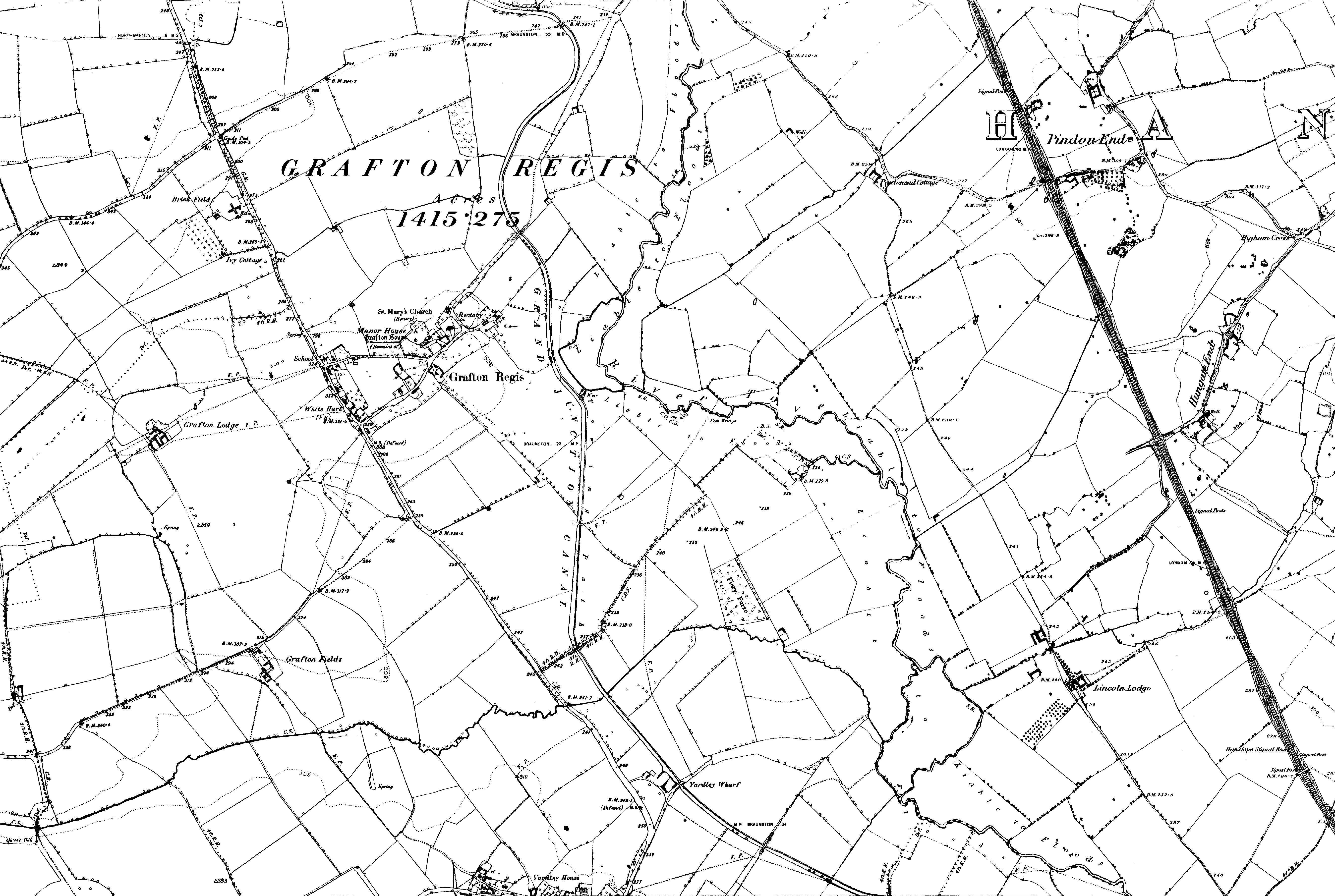
The image shows an old black and white map of the historic map covering the area of Grafton Regis in 1897.
Read full description
The image shows an old black and white map of the historic map covering the area of Grafton Regis in 1897. It is a topographic map with lines and numbers indicating the various features of the city, such as roads, buildings, and other landmarks.