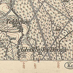
The image shows an old topographic map of Glenbokka Bridge from 1892.
Read full description
The image shows an old topographic map of Glenbokka Bridge from 1892. It is a detailed map with text and numbers indicating the various features of the area, such as roads, buildings, and other landmarks. The map is printed on a piece of paper, giving it a classic look.