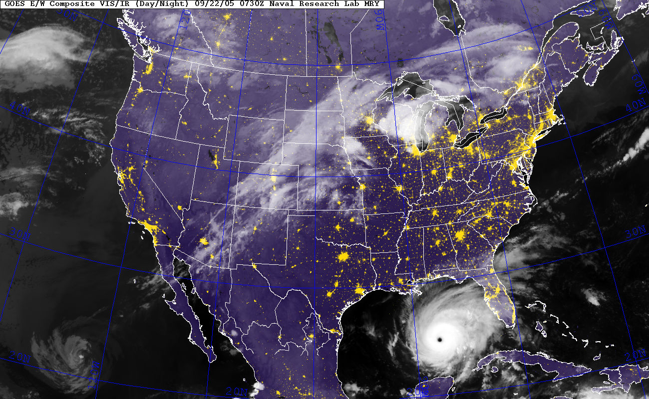
The image shows a satellite image of Hurricane Irene in the Gulf of Mexico, with a map of the United States in the background.
Read full description
The image shows a satellite image of Hurricane Irene in the Gulf of Mexico, with a map of the United States in the background. The map is filled with dark, swirling clouds, indicating the intensity of the hurricane, and the text at the top of the image provides additional information about the hurricane.